Abbot's Wood, Barrow-in-Furness

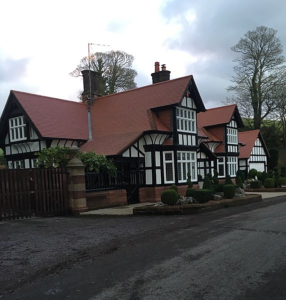
Gallery (2)
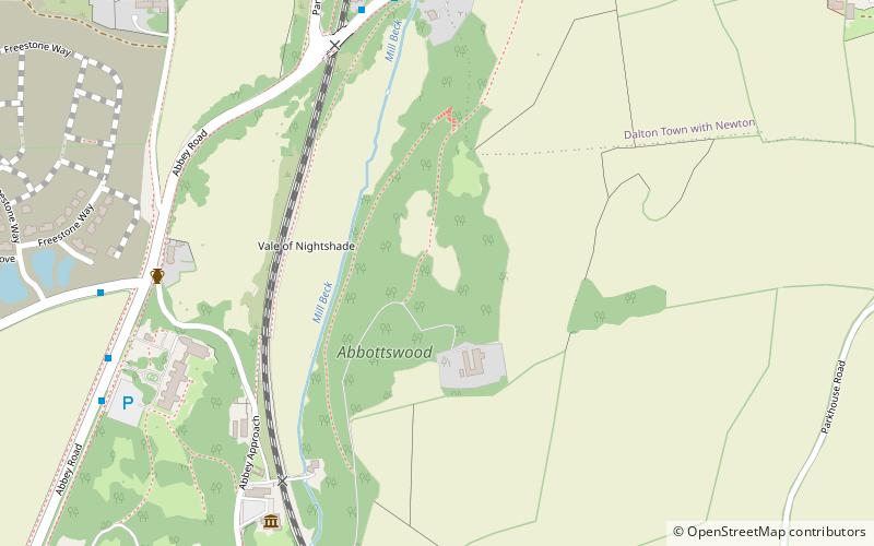
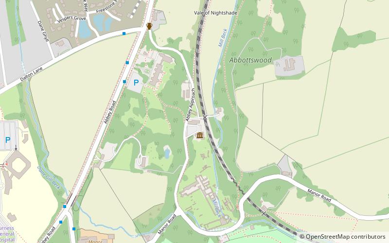
Map
Map
Gallery
Facts and practical information
Abbot's Wood was a large country house and estate located to the north-northeast of Barrow-in-Furness, Cumbria, England. It was sited on elevated ground to the northeast of Furness Abbey. The house was surrounded by extensive grounds with footpaths providing fine views. ()
Coordinates: 54°8'24"N, 3°11'42"W
Address
Barrow-in-Furness
ContactAdd
Social media
Add
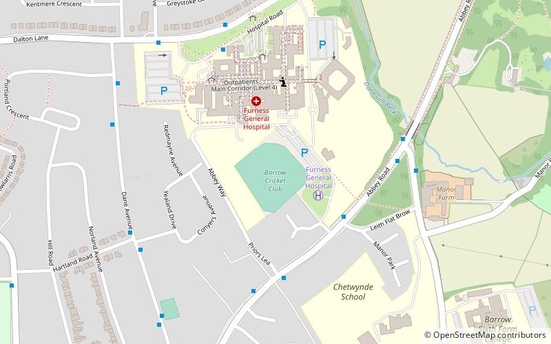
Getting there by public transportation
Public transportation stops near this location
- Train
 Train
Train
- Calculate routeDalton 31 min walk
Day trips
Abbot's Wood – popular in the area (distance from the attraction)
Nearby attractions include: Furness Abbey, St Mary's Church, Dalton Castle, Bow Bridge.


Frequently Asked Questions (FAQ)
Which popular attractions are close to Abbot's Wood?
Nearby attractions include Furness Abbey, Barrow-in-Furness (9 min walk), Bow Bridge, Barrow-in-Furness (14 min walk).
How to get to Abbot's Wood by public transport?
The nearest stations to Abbot's Wood:
Train
Train
- Dalton (31 min walk)