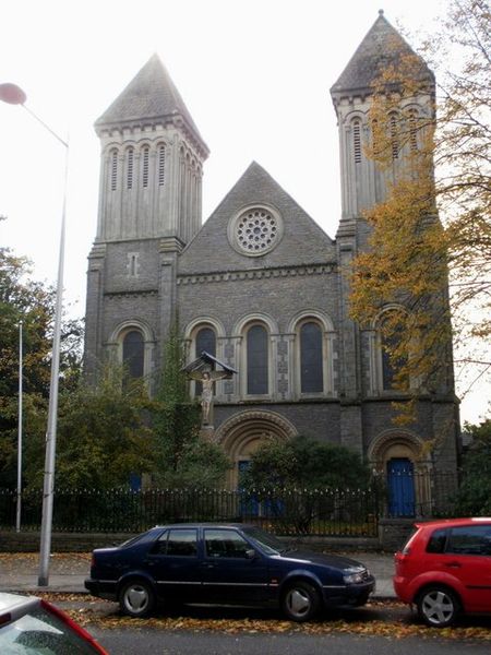
Bute Street, Cardiff

Gallery (8)
Map


Map

Gallery
Facts and practical information
Bute Street is a street in Cardiff, Wales. It links Cardiff Bay and Butetown with Cardiff city centre. It now has no road number. It runs from the dockside of the Mermaid Quay complex in the south, which is now a pedestrian zone, to the junction of Bute Terrace in the north. ()
Coordinates: 51°28'15"N, 3°10'10"W
Address
41 Loudoun SquareCaerdydd Wouth (Tre-biwt)Cardiff
ContactAdd
Social media
Add
Getting there by public transportation
Public transportation stops near this location
- Bus
- Train
 Bus
Bus
- Calculate routeCardiff Bay 6 min walk
- Calculate routeCardiff Central 14 min walk
- Calculate routeCardiff Queen Street 20 min walk
- Calculate routeGrangetown 23 min walk
- Calculate routeMillennium Centre 12 min walk
- Calculate routeCardiff Central Station 12 min walk
- Calculate routeCustom House Street 13 min walk
- Calculate routeEast Bute Street 13 min walk
Day trips


Frequently Asked Questions (FAQ)
Which popular attractions are close to Bute Street?
Nearby attractions include Loudoun Square, Cardiff (1 min walk), Atlantic Wharf, Cardiff (7 min walk), Butetown, Cardiff (8 min walk), Mount Stuart Square, Cardiff (9 min walk).
How to get to Bute Street by public transport?
The nearest stations to Bute Street:
Train
Bus
Train
- Cardiff Bay (6 min walk)
- Cardiff Central (14 min walk)
Bus
- Millennium Centre • Lines: 304/303, 6, 8 (12 min walk)
- Cardiff Central Station • Lines: T1C (12 min walk)