Yoke
Map

Gallery

Facts and practical information
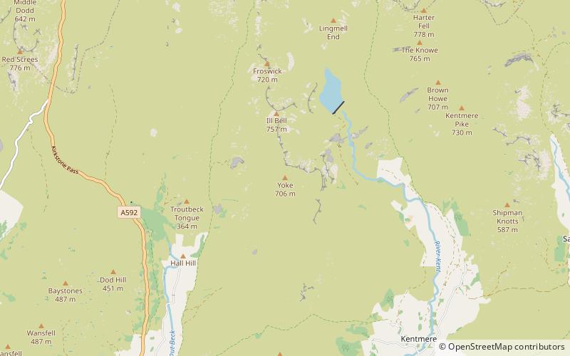
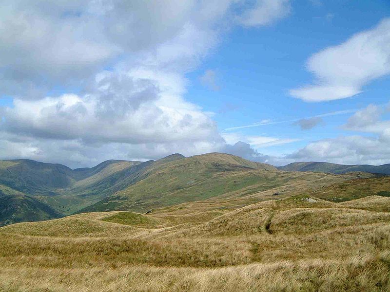
Yoke is a fell in the Lake District in Cumbria, England. It has a height of 706 m and is situated in the far eastern sector of the national park, 6½ kilometres ENE of the town of Ambleside. Yoke is the southern extremity of the long ridge that runs southwards from the fell of High Street. Yoke’s name is believed to be derived from the Old English language word geoc which is similar to the German word joch meaning mountain ridge. ()
Elevation: 2316 ftProminence: 125 ftCoordinates: 54°27'10"N, 2°52'7"W
Location
England
ContactAdd
Social media
Add
Day trips
Yoke – popular in the area (distance from the attraction)
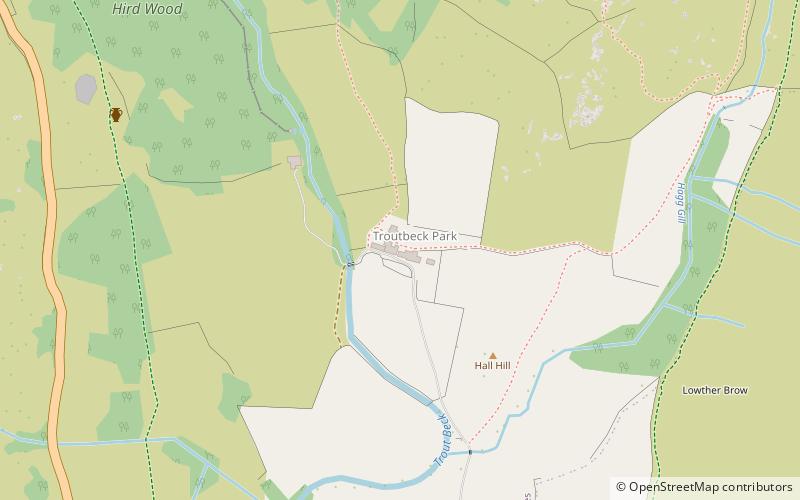
Nearby attractions include: Kentmere Reservoir, Ill Bell, Froswick, Troutbeck Tongue.


