Kentmere Reservoir
Map

Map

Facts and practical information
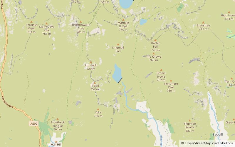
Kentmere Reservoir is a water storage facility situated in the Kentmere valley in the county of Cumbria, England. It is located 10.5 kilometres north-northeast of the town of Windermere. The reservoir is fed by the streams which form the headwaters of the River Kent which rise 1.5 kilometres to the north in Hall Cove on the southern slopes of a mountainous ridge called High Street, which is named after the nearby Roman road. It is also fed by Lingmell Gill, which drains the large corrie on the western side of Harter Fell beneath the Nan Bield Pass. ()
Elevation: 971 ft a.s.l.Coordinates: 54°27'54"N, 2°51'27"W
Day trips
Kentmere Reservoir – popular in the area (distance from the attraction)
Nearby attractions include: Harter Fell, Yoke, Thornthwaite Crag, Mardale Ill Bell.


