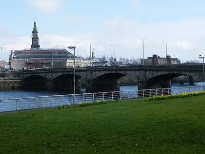
City Union Bridge, Glasgow
Map
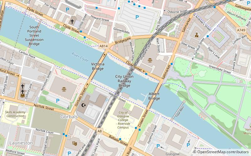
Map

Facts and practical information
The City Union Bridge is a bridge on the River Clyde in Scotland. It was opened in 1899. It was once a busy main route in and out of St Enoch station but that terminus closed in 1966 and was demolished in 1977, and since then the bridge is only used for empty stock movements, as the bridge forms a key link between Glasgow Queen Street and Glasgow Central. If a project known as Glasgow Crossrail goes ahead then the bridge and associated track will see passenger services once more. ()
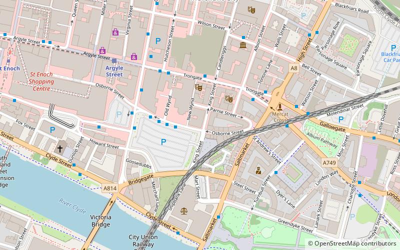
Coordinates: 55°51'12"N, 4°14'58"W
Address
City Centre (Merchant City)Glasgow
ContactAdd
Social media
Add
Day trips
City Union Bridge – popular in the area (distance from the attraction)
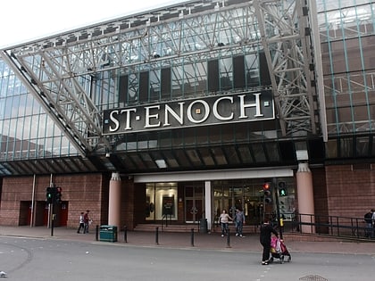
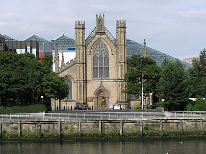
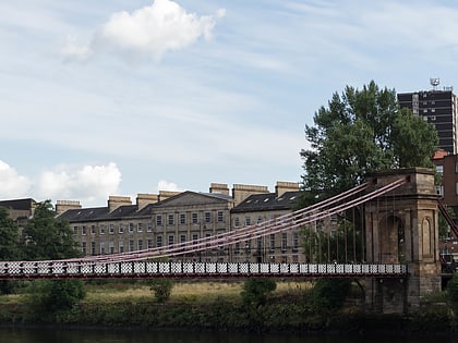
Nearby attractions include: St. Enoch Centre, The 13th Note, St Andrew's Cathedral, South Portland Street Suspension Bridge.
Frequently Asked Questions (FAQ)
Which popular attractions are close to City Union Bridge?
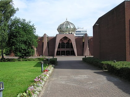
Nearby attractions include Victoria Bridge, Glasgow (3 min walk), Albert Bridge, Glasgow (3 min walk), Glasgow Central Mosque, Glasgow (3 min walk), Saltmarket, Glasgow (4 min walk).
How to get to City Union Bridge by public transport?
The nearest stations to City Union Bridge:
Bus
Train
Metro
Bus
- Osborne Street / Stockwell Street • Lines: 5, 65 (6 min walk)
- Stockwell Street / Stockwell Place • Lines: c1 (6 min walk)
Train
- Argyle Street (8 min walk)
- Glasgow Central (14 min walk)
Metro
- Bridge Street • Lines: Subway (10 min walk)
- St Enoch • Lines: Subway (10 min walk)

