Ryburn Reservoir
Map

Map

Facts and practical information
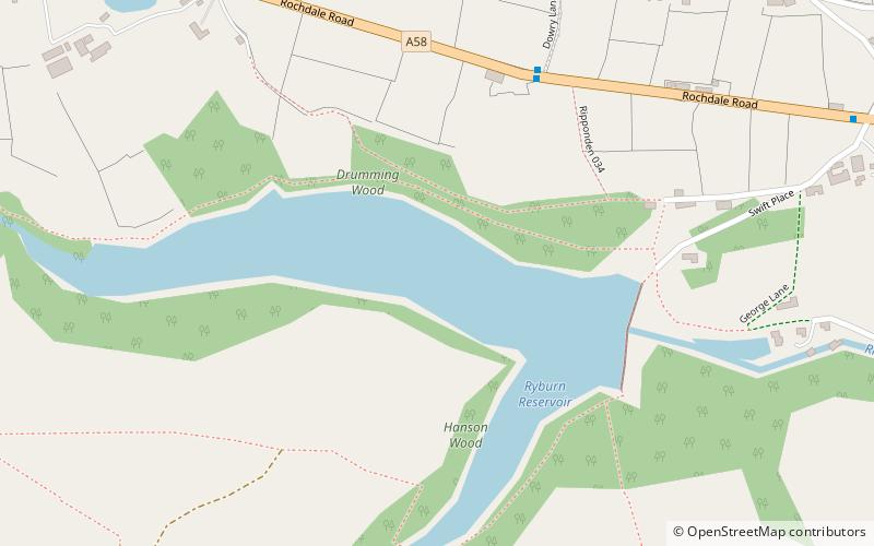
Ryburn Reservoir is a supply reservoir operated by Yorkshire Water close to Ripponden in the Yorkshire Pennines, England. It lies in the valley of the River Ryburn and is the lower of two reservoirs built in the valley to supply Wakefield with water and was completed in 1933. The upper reservoir is Baitings Reservoir. ()
Maximum depth: 95 ftElevation: 666 ft a.s.l.Coordinates: 53°39'55"N, 1°58'9"W
Day trips
Ryburn Reservoir – popular in the area (distance from the attraction)
Nearby attractions include: Rochdale Canal, Stoodley Pike, Booth Wood Reservoir, Wainhouse Tower.


