Booth Wood Reservoir
Map

Map

Facts and practical information
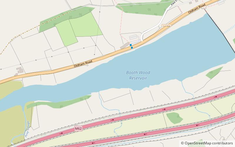
Booth Wood Reservoir is a man-made upland reservoir that lies north of the M62 motorway and south of the A672 road near to Rishworth and Ripponden in Calderdale, West Yorkshire, England. The reservoir was approved for construction in 1966 and completed in 1971. It supplies water to Wakefield. ()
Length: 4921 ftMaximum depth: 152 ftElevation: 853 ft a.s.l.Coordinates: 53°38'33"N, 1°57'44"W
Location
England
ContactAdd
Social media
Add
Day trips
Booth Wood Reservoir – popular in the area (distance from the attraction)
Nearby attractions include: Rochdale Canal, Wessenden Reservoir, Stanza Stones Trail, Colne Valley Museum.


