All Saints Church, Preston
Map
Facts and practical information
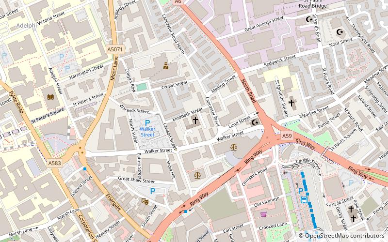
All Saints Church is located in Elizabeth Street, Preston, Lancashire, England. It is an evangelical Anglican parish church in the deanery of Preston, the archdeaconry of Lancaster, and the diocese of Blackburn. The church was built in 1846-1848 for the sum of £2000. It was built in the Classical style with six Ionic columns supporting a pedimented portico facade, and is now Grade II listed. It was one of the few churches in the country to be built by subscription and set up under Private Patronage. Nathan Buttery was inducted on 10 January to become the new vicar of All Saints, after their interregnum as their previous vicar, Daf Meirion-Jones, moved to Chessington Evangelical Church. ()
Coordinates: 53°45'48"N, 2°42'4"W
Getting there by public transportation
Public transportation stops near this location
- Bus
- Train
 Bus
Bus
- Calculate routeBus Station 7 min walk
- Calculate routePreston Bus Station 7 min walk
- Calculate routePreston 16 min walk
Day trips


Frequently Asked Questions (FAQ)
Which popular attractions are close to All Saints Church?
Nearby attractions include City Church, Preston (3 min walk), Syro-Malabar Cathedral of St Alphonsa, Preston (5 min walk), Covered Market, Preston (6 min walk), Preston Town Hall, Preston (7 min walk).
How to get to All Saints Church by public transport?
The nearest stations to All Saints Church:
Bus
Train
Bus
- Bus Station • Lines: 109, 111, 40, 41 (7 min walk)
- Preston Bus Station (7 min walk)
Train
- Preston (16 min walk)