Sonning Lock, Reading
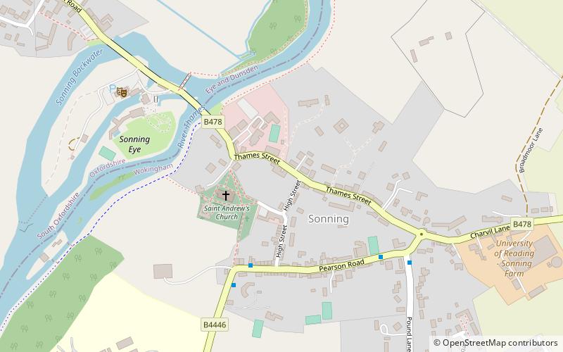
Map
Gallery
Facts and practical information
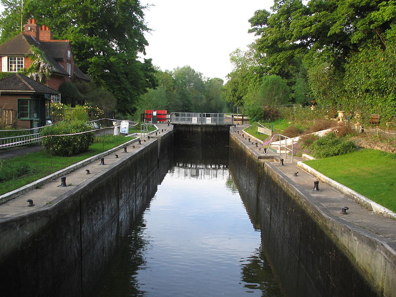
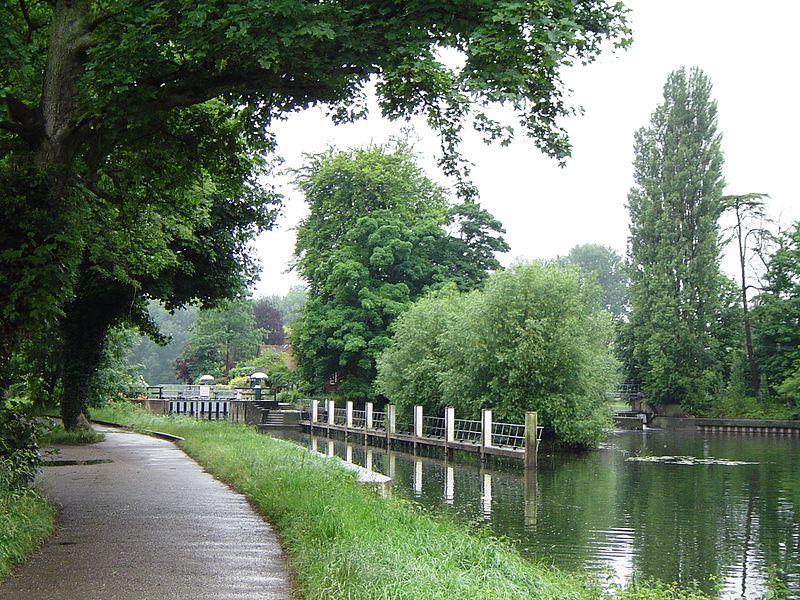
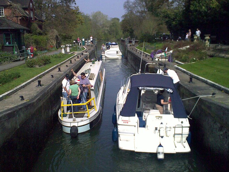
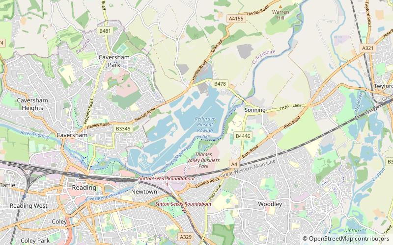
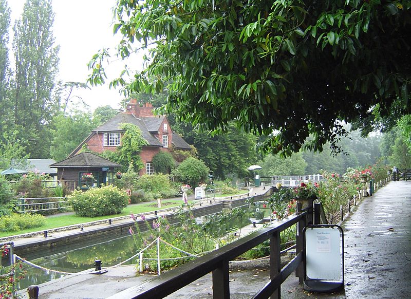
Sonning Lock is a lock and associated weir situated on the River Thames at the village of Sonning near Reading, Berkshire, England. The first lock was built by the Thames Navigation Commission in 1773 and it has been rebuilt three times since then. There is a weir a little upstream at the top of the island where Sonning Backwater separates from the main course of the river. ()
Coordinates: 51°28'22"N, 0°55'5"W
Address
Reading
ContactAdd
Social media
Add
Day trips
Sonning Lock – popular in the area (distance from the attraction)
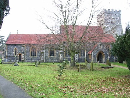
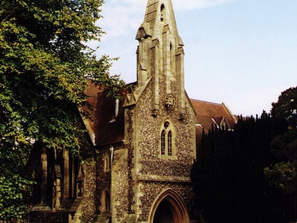
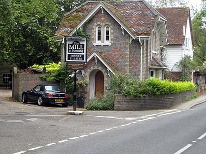
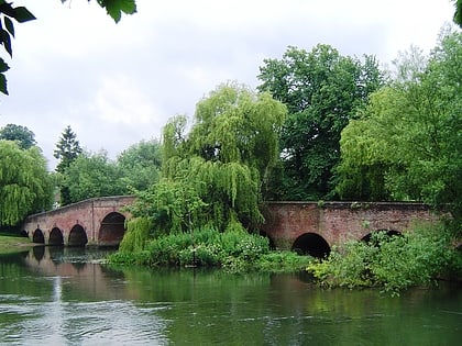
Nearby attractions include: St Andrew's Church, St John the Evangelist Church, The Mill at Sonning, Sonning Bridge.
Frequently Asked Questions (FAQ)
Which popular attractions are close to Sonning Lock?
Nearby attractions include The Mill at Sonning, Reading (6 min walk), St Andrew's Church, Reading (6 min walk), Sonning Bridge, Reading (7 min walk), Sonning Backwater Bridges, Reading (8 min walk).
How to get to Sonning Lock by public transport?
The nearest stations to Sonning Lock:
Bus
Bus
- Shepherd's Hill Top • Lines: 13, 14 (25 min walk)
- Hanwood Close • Lines: 14 (25 min walk)
