Winnats Pass, Peak District
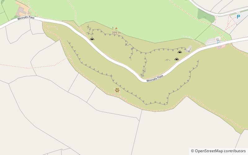
Map
Gallery
Facts and practical information
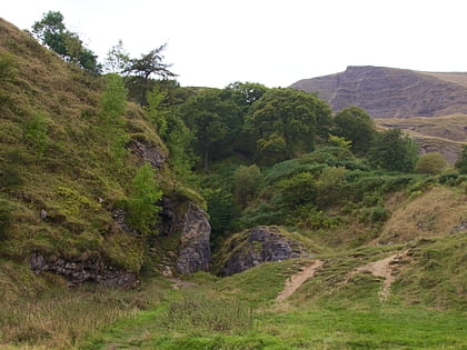
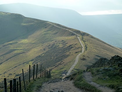
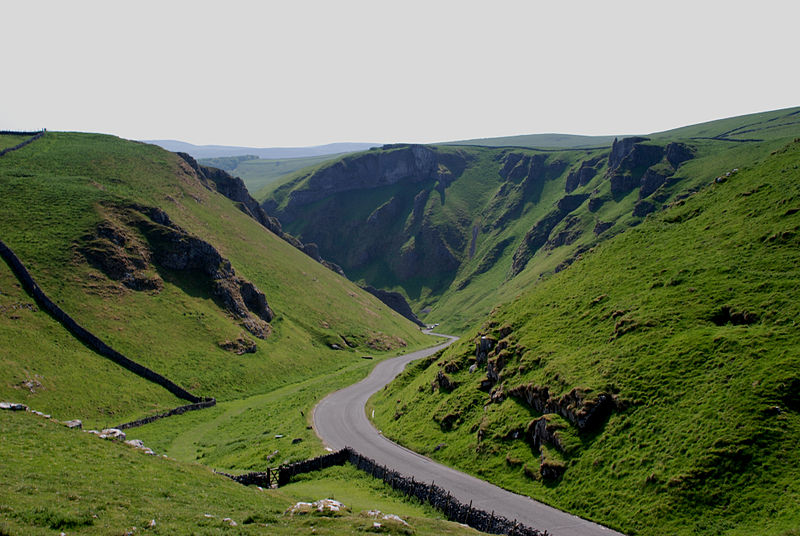
Winnats Pass is a hill pass and limestone gorge in the Peak District of Derbyshire, England. The name is a corruption of 'wind gates' due to the swirling winds through the pass. It lies west of the village of Castleton, in the National Trust's High Peak Estate and the High Peak borough of Derbyshire. The road winds through a cleft, surrounded by high limestone ridges. At the foot of the pass is the entrance to Speedwell Cavern, a karst cave accessed through a flooded lead mine, and which is a popular tourist attraction. ()
Coordinates: 53°20'24"N, 1°47'55"W
Address
Peak District
ContactAdd
Social media
Add
Day trips
Winnats Pass – popular in the area (distance from the attraction)
Nearby attractions include: Peak Cavern, Odin Mine, Treak Cliff Cavern, Blue John Cavern.
Frequently Asked Questions (FAQ)
Which popular attractions are close to Winnats Pass?
Nearby attractions include Speedwell Cavern, Castleton (7 min walk), Treak Cliff Cavern, Castleton (9 min walk), Blue John Cavern, Castleton (11 min walk), Titan Cave, Peak District (14 min walk).
How to get to Winnats Pass by public transport?
The nearest stations to Winnats Pass:
Bus
Bus
- Castleton Bus Station • Lines: 173, 174, 271, 272 (27 min walk)


