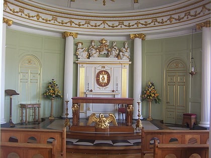
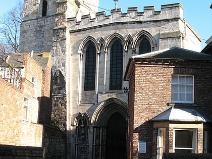
Southlands Methodist Church, York
Map

Map

Facts and practical information
Southlands Methodist Church is a Victorian Methodist church near Bishopthorpe Road in York, England. ()
Completed: 13 October 1887 (138 years ago)Coordinates: 53°56'57"N, 1°5'7"W
Day trips
Southlands Methodist Church – popular in the area (distance from the attraction)
Nearby attractions include: Clifford's Tower, York Castle Museum, Rowntree Park, Bar Convent.
Frequently Asked Questions (FAQ)
Which popular attractions are close to Southlands Methodist Church?
Nearby attractions include Rowntree Park, York (5 min walk), Bishopthorpe Palace, York (5 min walk), York Cold War Bunker, York (5 min walk), Yorkshire Air Museum, York (5 min walk).
How to get to Southlands Methodist Church by public transport?
The nearest stations to Southlands Methodist Church:
Bus
Train
Bus
- Nunnery Lane Car Park • Lines: 66 (12 min walk)
- Fewster Way • Lines: 66 (12 min walk)
Train
- York (18 min walk)


