Skeldergate, York
Map

Gallery

Facts and practical information
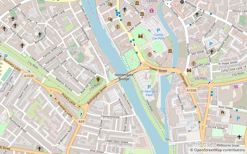
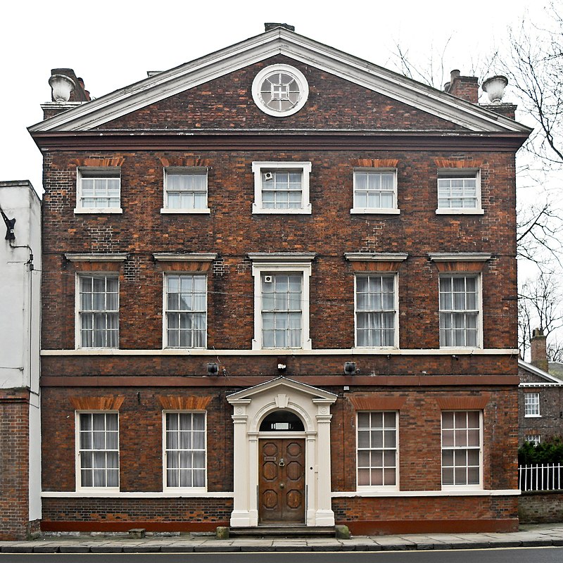
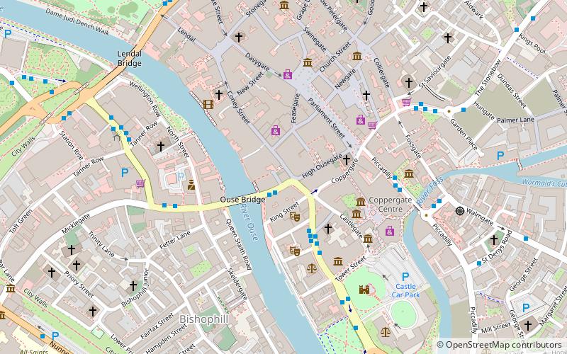
Skeldergate is a street in the city centre of York, in England. The street is now primarily residential, with many of its warehouse buildings having been converted into apartments. ()
Coordinates: 53°57'15"N, 1°4'53"W
Address
York
ContactAdd
Social media
Add
Day trips
Skeldergate – popular in the area (distance from the attraction)
Nearby attractions include: Clifford's Tower, Spurriergate Centre, Coppergate Shopping Centre, York Castle Museum.
Frequently Asked Questions (FAQ)
Which popular attractions are close to Skeldergate?
Nearby attractions include York Franciscan Friary, York (2 min walk), Baile Hill, York (2 min walk), York Debtor's Prison, York (3 min walk), Clifford's Tower, York (4 min walk).
How to get to Skeldergate by public transport?
The nearest stations to Skeldergate:
Bus
Train
Bus
- Clifford Street • Lines: 66 (5 min walk)
- Fewster Way • Lines: 66 (6 min walk)
Train
- York (15 min walk)


