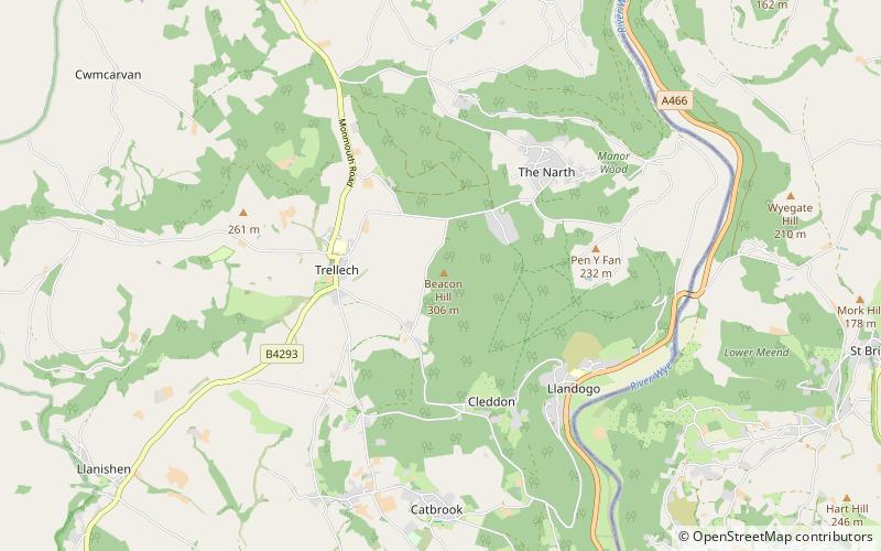
Beacon Hill, Letcombe Valley
Map

Map

Facts and practical information
Beacon Hill is the highest hill in eastern Monmouthshire, South Wales. It is located 0.6 miles due east of the village of Trellech, and 1 mile north-west of Llandogo. Its crowning point at 306m / 1006 ft above sea level is marked by an Ordnance Survey triangulation pillar. The summit, eastern slopes and uppermost western slopes are owned by Natural Resources Wales which manages the area not only for timber production but for recreation also. ()
Coordinates: 51°44'41"N, 2°42'30"W
Day trips
Beacon Hill – popular in the area (distance from the attraction)
Nearby attractions include: Bigsweir Bridge, Monnow Valley Walk, Church of St Nicholas, Clearwell Castle.
Frequently Asked Questions (FAQ)
Which popular attractions are close to Beacon Hill?
Nearby attractions include Church of St Nicholas, Letcombe Valley (19 min walk), Trellech, Letcombe Valley (19 min walk).


