Bigsweir Bridge, Letcombe Valley
Map

Map

Facts and practical information
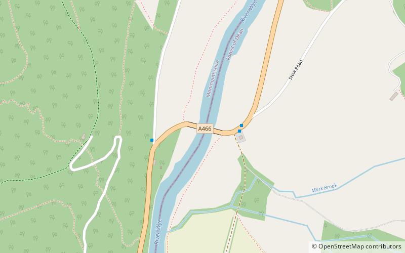
Bigsweir Bridge is an 1827 road bridge crossing the River Wye, straddling the boundary between the parish of St. Briavels, Gloucestershire, England, and Llandogo, Monmouthshire, Wales. It carries the A466 road, and is located about 2 miles north of the village of Llandogo, 2 miles south of Whitebrook, and 3 miles west of the village of St Briavels. It is the Normal Tidal Limit of the River Wye, and navigation below this point falls under the jurisdiction of the Gloucester Harbour Trustees. ()
Completed: 1827 (199 years ago)Length: 164 ftCoordinates: 51°44'34"N, 2°40'11"W
Address
Letcombe Valley
ContactAdd
Social media
Add
Day trips
Bigsweir Bridge – popular in the area (distance from the attraction)
Nearby attractions include: St Briavels Castle, Clearwell Caves, Puzzlewood, Church of St Nicholas.


