Pero's Bridge, Bristol
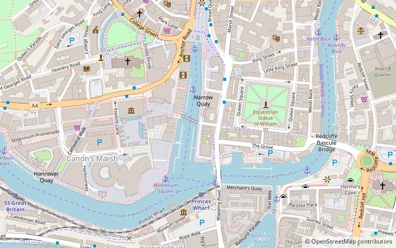
Map
Gallery
Facts and practical information
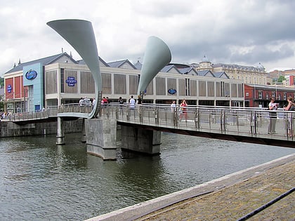
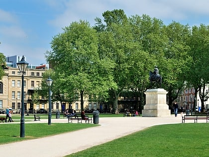
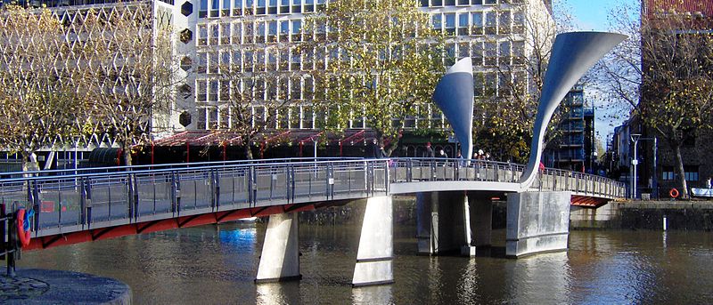
Pero's Bridge is a pedestrian bascule bridge that spans St Augustine's Reach in Bristol Harbour, Bristol, England. It links Queen Square and Millennium Square. ()
Opened: 1999 (27 years ago)Coordinates: 51°27'0"N, 2°35'51"W
Day trips
Pero's Bridge – popular in the area (distance from the attraction)
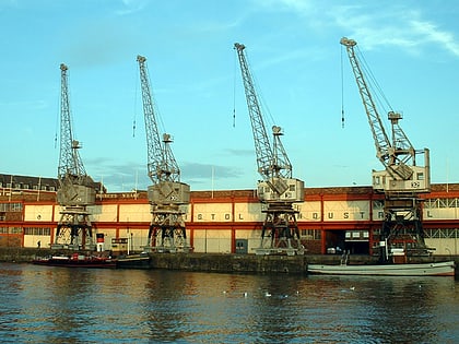
Nearby attractions include: M Shed, Arnolfini, Bristol Cathedral, The Old Duke.
Frequently Asked Questions (FAQ)
Which popular attractions are close to Pero's Bridge?
Nearby attractions include Arnolfini, Bristol (2 min walk), Prince Street Bridge, Bristol (2 min walk), Bristol Harbour, Bristol (3 min walk), Queen Square, Bristol (4 min walk).
How to get to Pero's Bridge by public transport?
The nearest stations to Pero's Bridge:
Bus
Ferry
Train
Bus
- Queen Square • Lines: m2 (3 min walk)
- Anchor Road • Lines: 902, 903, Falcon (4 min walk)
Ferry
- Prince Street Bridge • Lines: Hotwells-Centre (3 min walk)
- Millennium Square • Lines: Hotwells-Centre (4 min walk)
Train
- Princes Wharf (4 min walk)
- SS Great Britain (10 min walk)
