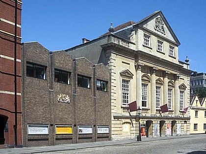
Queen Square, Bristol
Map
Gallery
Facts and practical information
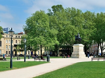
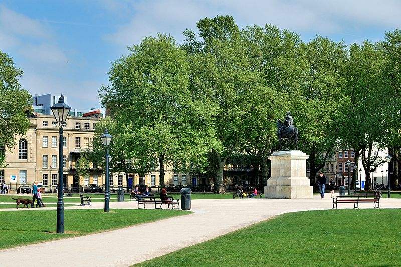
Queen Square is a 2.4 hectares Georgian square in the centre of Bristol, England. Following the 1831 riot, Queen Square declined through the latter part of the 19th century, was threatened with a main line railway station, but then bisected by a dual carriageway in the 1930s. By 1991 20,000 vehicles including scheduled buses were crossing the square every day, and over 30% of the buildings around it were vacant. ()
Created: 1699Elevation: 59 ft a.s.l.Coordinates: 51°27'4"N, 2°35'44"W
Day trips
Queen Square – popular in the area (distance from the attraction)
Nearby attractions include: Arnolfini, Redcliffe Caves, The Old Duke, College Green.
Frequently Asked Questions (FAQ)
Which popular attractions are close to Queen Square?
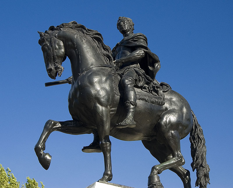
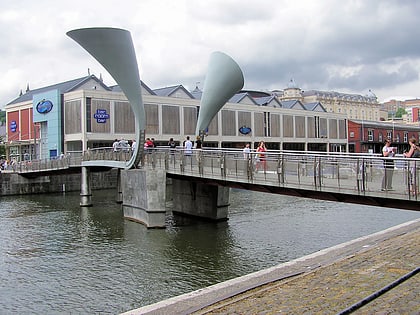
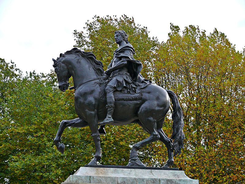
Nearby attractions include Equestrian statue of William III, Bristol (2 min walk), Prince Street Bridge, Bristol (2 min walk), Bristol Old Vic, Bristol (3 min walk), 6 King Street, Bristol (3 min walk).
How to get to Queen Square by public transport?
The nearest stations to Queen Square:
Bus
Ferry
Train
Bus
- Queen Square • Lines: m2 (2 min walk)
- The Centre • Lines: 43, 902, m2 (6 min walk)
Ferry
- City Centre • Lines: Hotwells-Centre (3 min walk)
- Prince Street Bridge • Lines: Hotwells-Centre (5 min walk)
Train
- Princes Wharf (6 min walk)
- SS Great Britain (13 min walk)
