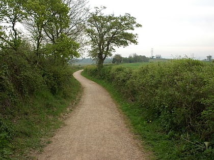
Vauxhall Fields, Monmouth
Map
Gallery
Facts and practical information
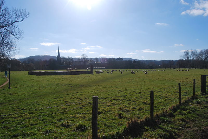
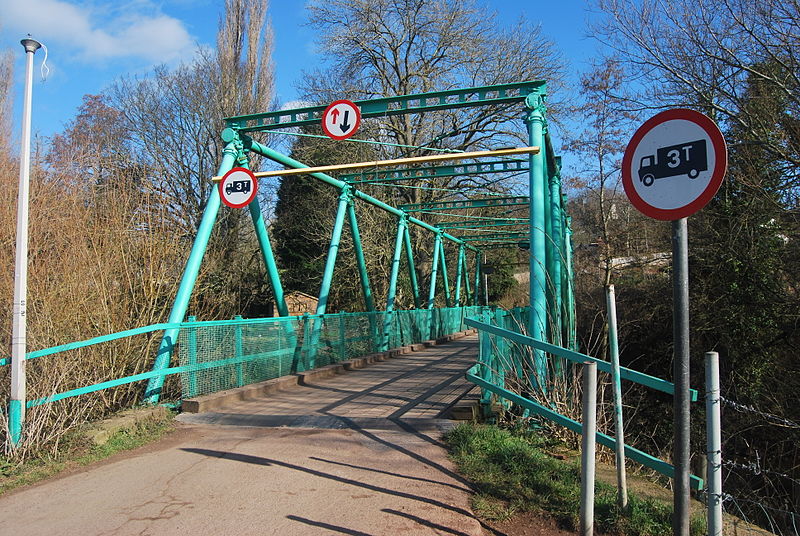
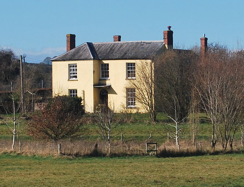
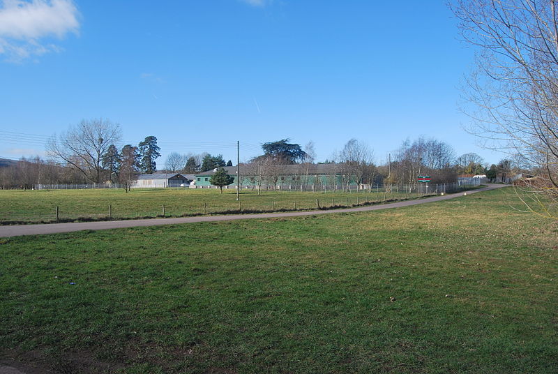
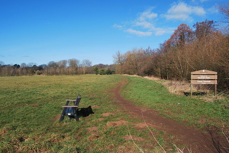
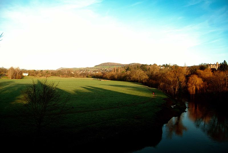
Vauxhall Fields, also known as Vauxhall Meadows, are water meadows to the northwest of Monmouth town centre, Wales. The River Monnow borders the meadows on two sides. The meadows have generally remained free of development. The area has been prone to flooding on many occasions over the years. ()
Elevation: 69 ft a.s.l.Coordinates: 51°48'54"N, 2°43'19"W
Address
Monmouth
ContactAdd
Social media
Add
Day trips
Vauxhall Fields – popular in the area (distance from the attraction)
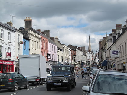
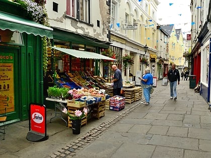
Nearby attractions include: Monnow Street, Church Street, Monmouth Museum, Monmouth Castle.
Frequently Asked Questions (FAQ)
Which popular attractions are close to Vauxhall Fields?
Nearby attractions include Monmouth Regimental Museum, Monmouth (7 min walk), Monmouth Castle, Monmouth (7 min walk), Great Castle House, Monmouth (8 min walk), Monmouth Museum, Monmouth (8 min walk).
How to get to Vauxhall Fields by public transport?
The nearest stations to Vauxhall Fields:
Bus
Bus
- Monmouth Bus Station (9 min walk)


