Wysis Way, Monmouth
Map

Map

Facts and practical information
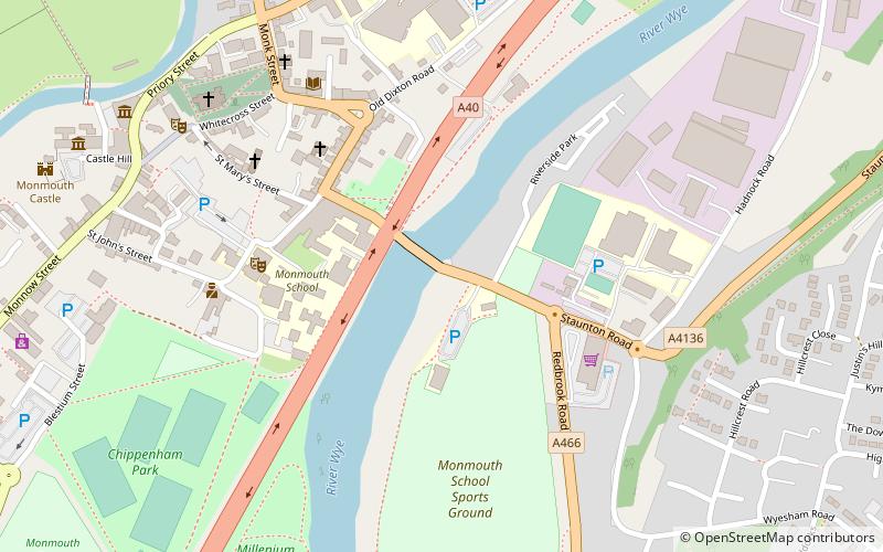
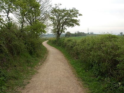
The Wysis Way is an 88 km walking route which forms a link between the Offa's Dyke Path and Thames Path national trails in the United Kingdom. The Way runs between Monmouth in Wales and Kemble, Gloucestershire in England. ()
Length: 54.68 miCoordinates: 51°48'40"N, 2°42'34"W
Address
Monmouth
ContactAdd
Social media
Add
Day trips
Wysis Way – popular in the area (distance from the attraction)
Nearby attractions include: Church Street, Savoy Theatre, Wye Bridge, Monnow Valley Walk.
Frequently Asked Questions (FAQ)
Which popular attractions are close to Wysis Way?
Nearby attractions include Wye Bridge, Monmouth (1 min walk), Monmouth School for Boys, Monmouth (2 min walk), War memorials in Monmouth, Monmouth (3 min walk), St James Street, Monmouth (4 min walk).
How to get to Wysis Way by public transport?
The nearest stations to Wysis Way:
Bus
Bus
- Monmouth Bus Station (12 min walk)


