Brae Fell, Lake District National Park
Map

Gallery

Facts and practical information
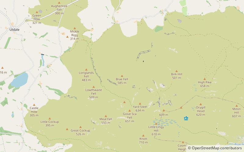
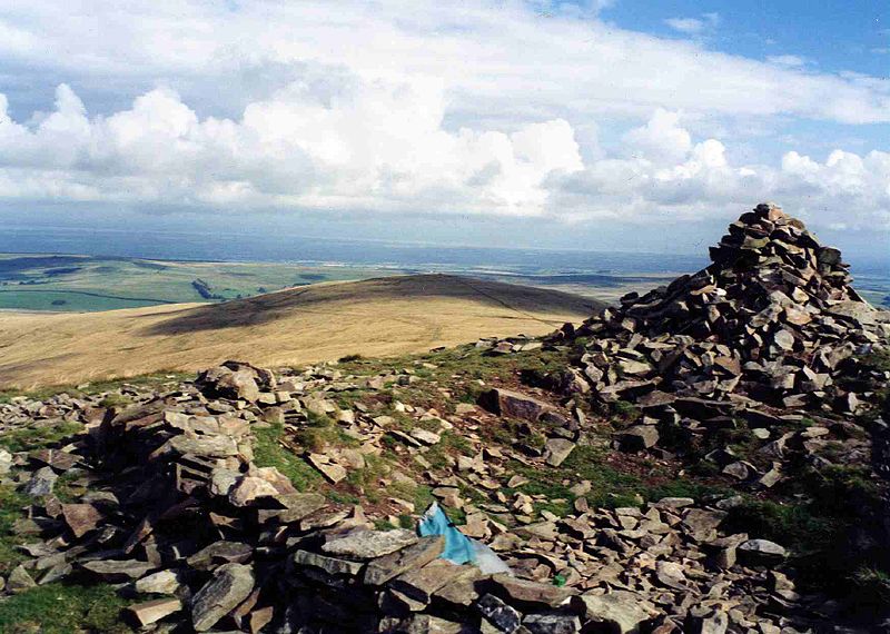
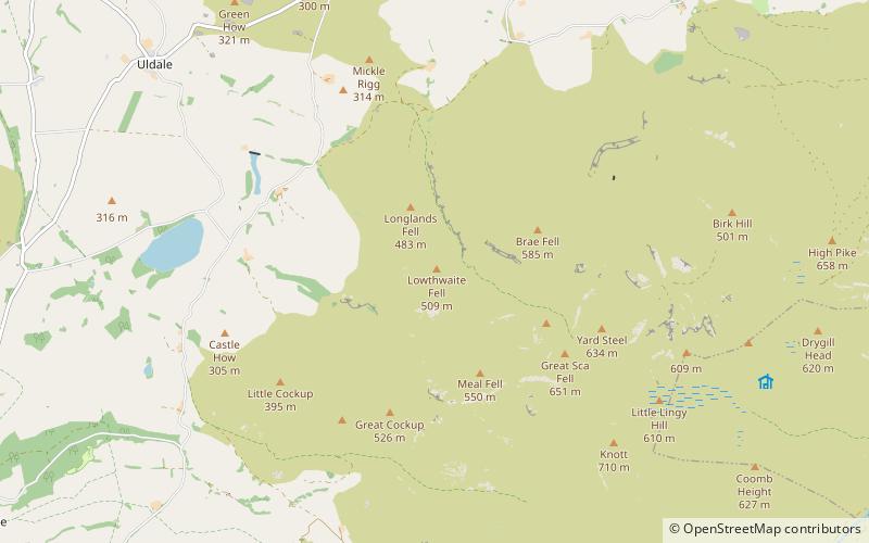
Brae Fell is a fell in the English Lake District, situated 12 kilometres north of Keswick it reaches a height of 586 m and is regarded as part of the Caldbeck Fells along with High Pike and Carrock Fell even though it has ridge links to the Uldale Fells. The fell's name has Scottish overtones and translates from the Scots language as a hillside or slope. Its northern flanks face the Scottish Borders country across the Eden Valley and Solway Firth. ()
Elevation: 1923 ftProminence: 52 ftCoordinates: 54°42'23"N, 3°6'20"W
Address
Lake District National Park
ContactAdd
Social media
Add
Day trips
Brae Fell – popular in the area (distance from the attraction)
Nearby attractions include: Longlands Fell, Great Sca Fell, Great Cockup, Meal Fell.
Frequently Asked Questions (FAQ)
Which popular attractions are close to Brae Fell?
Nearby attractions include Lowthwaite Fell, Lake District National Park (18 min walk), Great Sca Fell, Lake District National Park (21 min walk), Longlands Fell, Lake District National Park (21 min walk).


