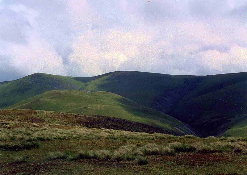
Meal Fell, Lake District National Park

Gallery (2)
Map
Map
Gallery
Facts and practical information
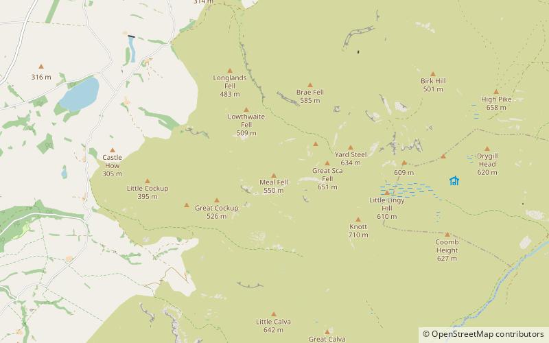
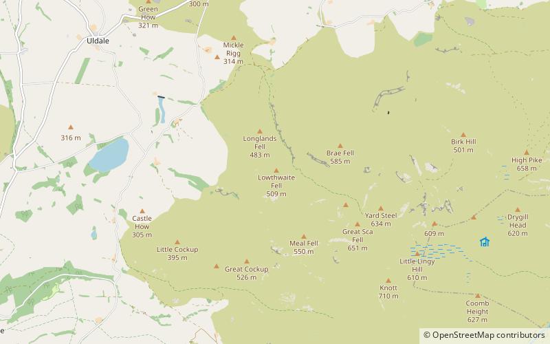
Meal Fell is a small fell in the northern region of the English Lake District, it is situated seven kilometres south-west of the village of Caldbeck and is one of the four main Uldale Fells. ()
Elevation: 1804 ftProminence: 98 ftCoordinates: 54°41'38"N, 3°6'52"W
Address
Lake District National Park
ContactAdd
Social media
Add
Day trips


Frequently Asked Questions (FAQ)
Which popular attractions are close to Meal Fell?
Nearby attractions include Great Sca Fell, Lake District National Park (14 min walk), Great Cockup, Lake District National Park (17 min walk), Lowthwaite Fell, Lake District National Park (17 min walk).