Shiplake Lock, Wargrave
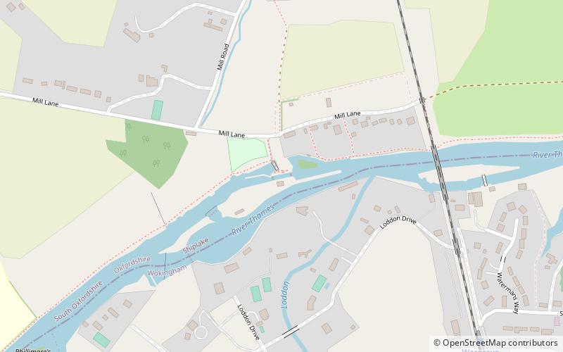
Map
Gallery

Facts and practical information
Shiplake Lock is a lock and weir situated on the River Thames in England between the villages of Shiplake and Lower Shiplake, Oxfordshire. It is just above the points where the River Loddon joins the Thames and Shiplake Railway Bridge crosses the river. The first pound lock was built by the Thames Navigation Commission in 1773. ()
Coordinates: 51°30'6"N, 0°52'58"W
Day trips
Shiplake Lock – popular in the area (distance from the attraction)
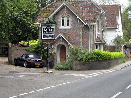
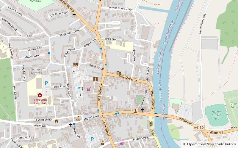
Nearby attractions include: Henley Town Hall, River & Rowing Museum, St Andrew's Church, The Mill at Sonning.
Frequently Asked Questions (FAQ)
Which popular attractions are close to Shiplake Lock?
Nearby attractions include Shiplake Railway Bridge, Wargrave (6 min walk), Hannen Columbarium, Wargrave (11 min walk), Wargrave War Memorial, Wargrave (12 min walk).


