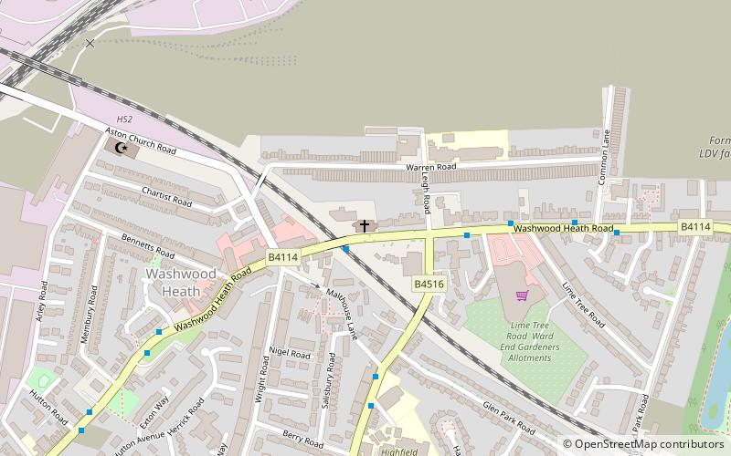
St Mark's Church, Birmingham
Map

Map

Facts and practical information
St Mark's is a parish church in the Church of England in Washwood Heath, Birmingham. ()
Completed: 1899 (127 years ago)Coordinates: 52°29'47"N, 1°50'58"W
Address
Hodge HillBirmingham
ContactAdd
Social media
Add
Day trips
St Mark's Church – popular in the area (distance from the attraction)
Nearby attractions include: Birmingham Wheels Park, Aston Reservoir, Star City, Ward End Park.
Frequently Asked Questions (FAQ)
Which popular attractions are close to St Mark's Church?
Nearby attractions include Ward End Park, Birmingham (13 min walk), St Saviour's Church, Birmingham (20 min walk), St Clement's Church, Birmingham (20 min walk), Salford Junction, Birmingham (24 min walk).
How to get to St Mark's Church by public transport?
The nearest stations to St Mark's Church:
Train
Train
- Adderley Park (25 min walk)
- Duddeston (28 min walk)


