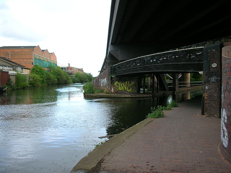
Salford Junction, Birmingham
Map

Gallery

Facts and practical information
Salford Junction is the canal junction of the Grand Union and Tame Valley Canals with the Birmingham and Fazeley Canal. It is in the north of the administrative city of Birmingham, England and historically marked a tripoint between two divisions of Aston to the south and Erdington to the north. It is directly east of most of the Gravelly Hill Interchange. With Aston and Bordesley Junctions it forms a circuit, at the heart of Birmingham's thirty-five miles of canals. ()
Coordinates: 52°30'31"N, 1°51'33"W
Address
TyburnBirmingham
ContactAdd
Social media
Add
Day trips
Salford Junction – popular in the area (distance from the attraction)
Nearby attractions include: Villa Park, Aston Hall, Brookvale Park Lake, Aston Reservoir.
Frequently Asked Questions (FAQ)
Which popular attractions are close to Salford Junction?
Nearby attractions include Aston Reservoir, Birmingham (9 min walk), All Saints' Church, Birmingham (12 min walk), Greek Orthodox Church of the Holy Trinity and St Luke, Birmingham (14 min walk), Brookvale Park, Birmingham (17 min walk).
How to get to Salford Junction by public transport?
The nearest stations to Salford Junction:
Train
Bus
Train
- Gravelly Hill (14 min walk)
- Aston (16 min walk)
Bus
- Ej • Lines: 66 (30 min walk)
- Eh • Lines: 66 (31 min walk)


