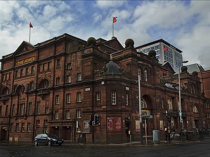
Al-Furqan Mosque, Glasgow
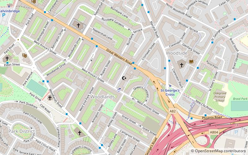
Map
Facts and practical information
Al-Furqan Mosque is located in the Woodside district of central Glasgow. ()
Completed: 1992 (34 years ago)Capacity: 500Coordinates: 55°52'17"N, 4°16'19"W
Day trips
Al-Furqan Mosque – popular in the area (distance from the attraction)
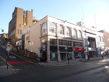
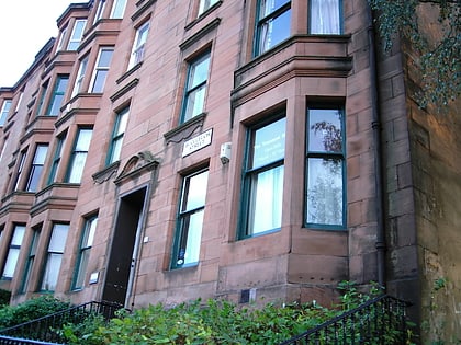
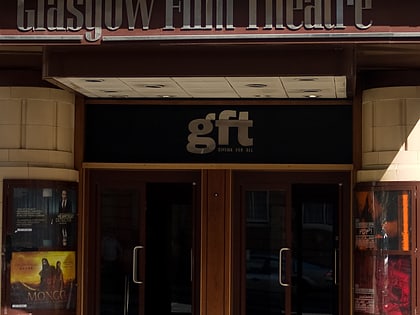
Nearby attractions include: O2 ABC Glasgow, Glasgow University Union, Glasgow School of Art, Tenement House.
Frequently Asked Questions (FAQ)
Which popular attractions are close to Al-Furqan Mosque?
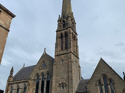
Nearby attractions include St Mary's Cathedral, Glasgow (5 min walk), St. Jude's Church, Glasgow (5 min walk), Tenement House, Glasgow (7 min walk), The Stand Comedy Club, Glasgow (7 min walk).
How to get to Al-Furqan Mosque by public transport?
The nearest stations to Al-Furqan Mosque:
Bus
Metro
Train
Bus
- Maryhill Road / St Georges Cross Subway Station • Lines: 17, 60, 60A, 61, C8, N60 (3 min walk)
- Great Western Road / Dunearn Street • Lines: 6A (4 min walk)
Metro
- St Georges Cross • Lines: Subway (4 min walk)
- Kelvinbridge • Lines: Subway (10 min walk)
Train
- Charing Cross (13 min walk)
- Anderston (21 min walk)
