Roughdown Common, Hemel Hempstead
Map

Gallery

Facts and practical information
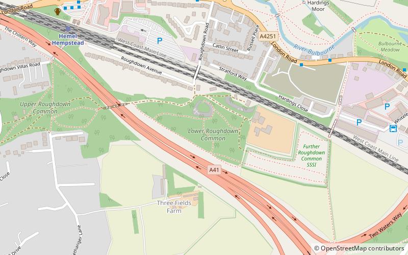
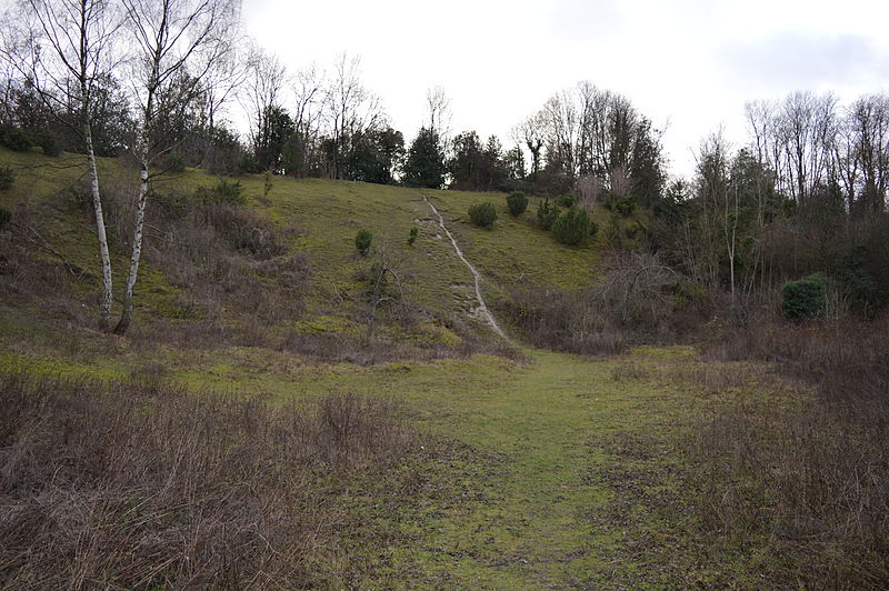
Roughdown Common is a 3.6 hectare biological Site of Special Scientific Interest in Hemel Hempstead in Hertfordshire. The planning authority is Dacorum Borough Council. The site is Common land, and it is owned by the Box Moor Trust having been officially brought by the trust in April 1886 from the Dean and Chapter of St Paul's. It is part of the Chilterns Area of Outstanding Natural Beauty. The Common is a steeply sloping chalk hill in south Hemel Hempstead. ()
Coordinates: 51°44'23"N, 0°29'7"W
Address
Hemel Hempstead
ContactAdd
Social media
Add
Day trips
Roughdown Common – popular in the area (distance from the attraction)
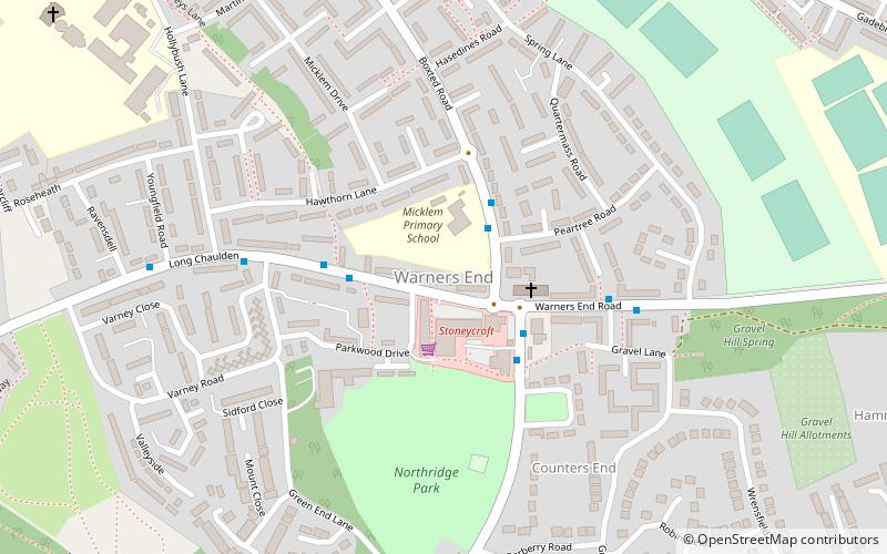
Nearby attractions include: The Bury, Apsley Marina, Shrubhill Common, Warner's End.
Frequently Asked Questions (FAQ)
How to get to Roughdown Common by public transport?
The nearest stations to Roughdown Common:
Bus
Train
Bus
- Roughdown Road • Lines: 105 (7 min walk)
- Hemel Hempstead Railway Station • Lines: 105 (9 min walk)
Train
- Hemel Hempstead (8 min walk)
- Apsley (28 min walk)


