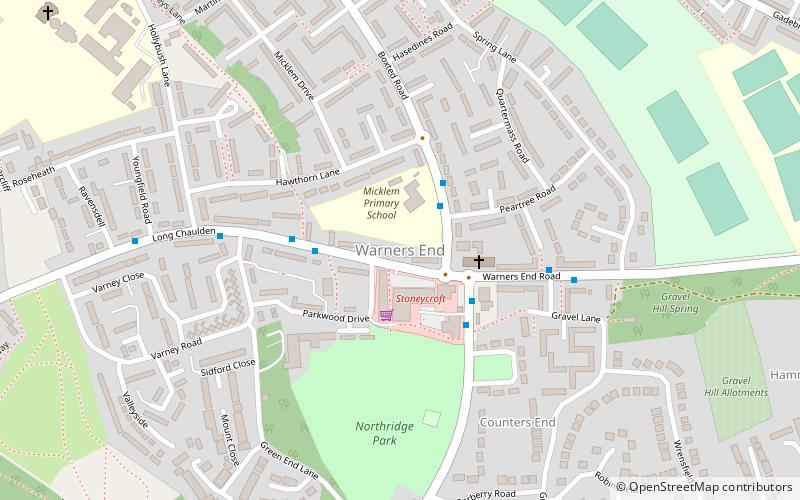
Warner's End, Hemel Hempstead
Map
Facts and practical information
Warners End is a neighbourhood or district of Hemel Hempstead, a new town in Hertfordshire, England. At the 2011 Census the population of the District was included in the Chaulden and Warner's End ward of Dacorum Council. It was the fourth of the new districts built during the expansion of Hemel Hempstead into a new town with work on its construction commencing in 1953. ()
Coordinates: 51°45'24"N, 0°29'37"W
Address
Hemel Hempstead
ContactAdd
Social media
Add
Getting there by public transportation
Public transportation stops near this location
- Bus
- Train
 Bus
Bus
- Calculate routeHemel Hempstead Railway Station 25 min walk
- Calculate routeMeadow Way 26 min walk
- Calculate routeMarlowes 25 min walk
- Calculate routeHemel Hempstead 26 min walk
Day trips


Frequently Asked Questions (FAQ)
Which popular attractions are close to Warner's End?
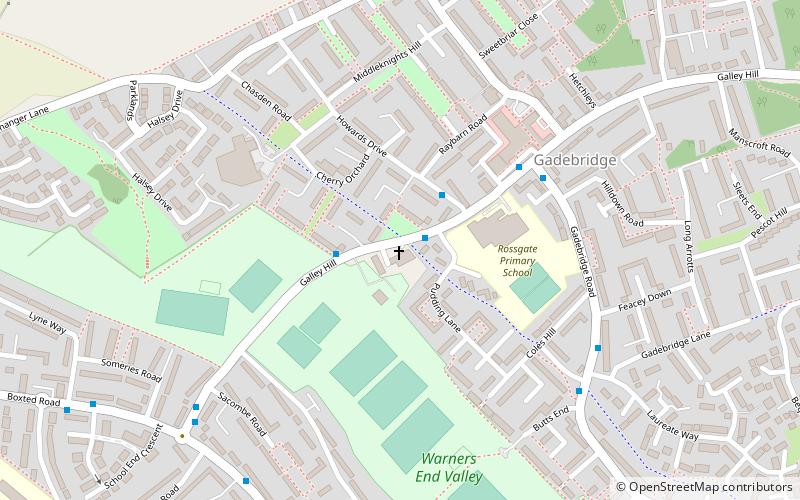
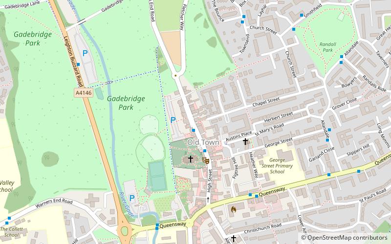
Nearby attractions include Shrubhill Common, Hemel Hempstead (11 min walk), Gadebridge, Hemel Hempstead (13 min walk), Gadebridge Park, Hemel Hempstead (19 min walk), The Bury, Hemel Hempstead (22 min walk).
How to get to Warner's End by public transport?
The nearest stations to Warner's End:
Bus
Train
Bus
- Hemel Hempstead Railway Station • Lines: 105 (25 min walk)
- Meadow Way • Lines: 105 (26 min walk)
Train
- Hemel Hempstead (26 min walk)