Belvoir Park Forest, Belfast
Map

Map

Facts and practical information
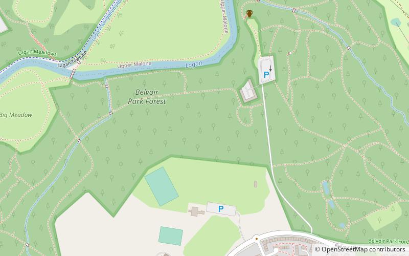
Belvoir Park Forest is a large forest in Belfast, Northern Ireland. Owned and managed by Forest Service, it was opened in 1961 and covers 75 hectares along the bank of the River Lagan. ()
Elevation: 108 ft a.s.l.Coordinates: 54°33'23"N, 5°55'50"W
Address
BeechillBelfast
ContactAdd
Social media
Add
Day trips
Belvoir Park Forest – popular in the area (distance from the attraction)
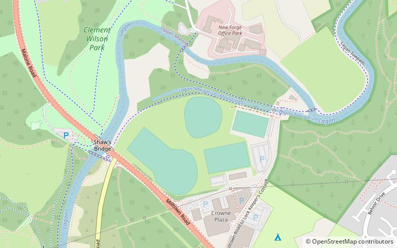
Nearby attractions include: Forestside Shopping Centre, Belvoir Park Golf Club, Shaw's Bridge, Giant's Ring.
Frequently Asked Questions (FAQ)
How to get to Belvoir Park Forest by public transport?
The nearest stations to Belvoir Park Forest:
Bus
Bus
- Mount Oriel • Lines: 7A, 7C, 7B, 7D (23 min walk)
- Forster Green • Lines: 7A, 7C, 7B, 7D (25 min walk)


