Shaw's Bridge, Belfast
Map
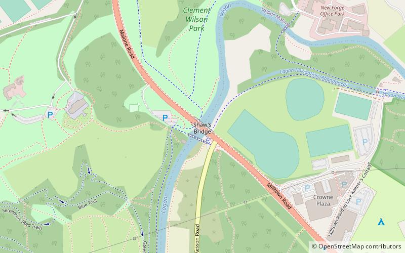
Map

Facts and practical information
Shaw's Bridge is the name given to two adjacent bridges across the River Lagan in Belfast, Northern Ireland. The older of the bridges is a historic stone arched bridge, which is open to cyclists and pedestrians. The new bridge is a concrete bridge which carries the A55 road. ()
Coordinates: 54°33'9"N, 5°57'10"W
Address
River LaganMinnowburnBelfast BT 8 7
ContactAdd
Social media
Add
Day trips
Shaw's Bridge – popular in the area (distance from the attraction)
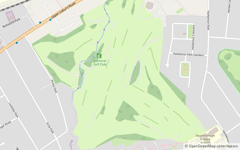
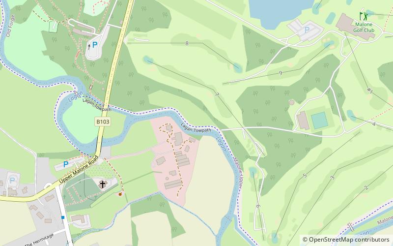
Nearby attractions include: Malone Golf Club, Giant's Ring, Balmoral Golf Club, King's Hall.
Frequently Asked Questions (FAQ)
Which popular attractions are close to Shaw's Bridge?
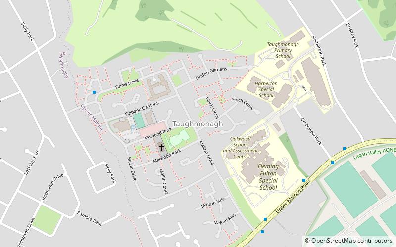
Nearby attractions include Taughmonagh, Belfast (20 min walk), Giant's Ring, Belfast (22 min walk), Belvoir Park Forest, Belfast (24 min walk).
How to get to Shaw's Bridge by public transport?
The nearest stations to Shaw's Bridge:
Bus
Train
Bus
- Trossachs • Lines: 8A (26 min walk)
- Erinvale • Lines: 8A (30 min walk)
Train
- Balmoral (33 min walk)


