Compton Down, Isle of Wight
Map
Map

Facts and practical information
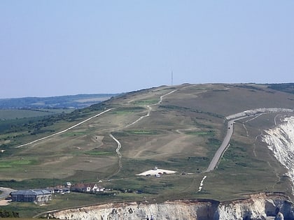
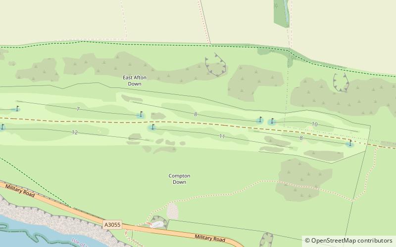
Compton Down is a hill on the Isle of Wight just to the east of Freshwater Bay. It is part of the chalk ridge which forms the "backbone" of the Isle of Wight. It runs east to west, is approximately three miles long and is predominantly grass downland. The Down is owned and managed by the National Trust and it provides the setting for the Freshwater Bay Golf Course at its western end. ()
Coordinates: 50°40'12"N, 1°28'48"W
Address
Isle of Wight
ContactAdd
Social media
Add
Day trips
Compton Down – popular in the area (distance from the attraction)
Nearby attractions include: West Wight Sports Centre, Farringford Estate 2017, Yarmouth Castle, Needles Lighthouse.
Frequently Asked Questions (FAQ)
How to get to Compton Down by public transport?
The nearest stations to Compton Down:
Bus
Bus
- Compton Farm • Lines: 12 (9 min walk)
- Southdown Road • Lines: 12 (31 min walk)


