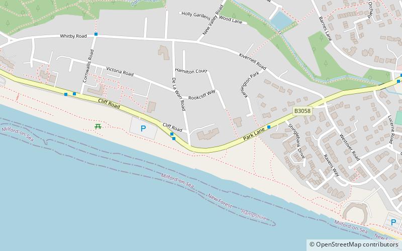
Solent Way, Milford on Sea
Map

Map

Facts and practical information
The Solent Way is a 60-mile long-distance footpath in Hampshire, southern England. With the exception of a few inland diversions, the path follows the coast of the Solent, the sea strait that separates the mainland from the Isle of Wight. The Solent Way forms part of the E9 European Coastal Path, which runs for 5000 km from Cape St Vincent in Portugal to Narva-Jõesuu in Estonia. ()
Coordinates: 50°43'26"N, 1°36'0"W
Address
Milford on Sea
ContactAdd
Social media
Add
Day trips
Solent Way – popular in the area (distance from the attraction)
Nearby attractions include: Hurst Castle, Hurst Point Lighthouse, Needles Lighthouse, St Barbe Museum & Art Gallery.
Frequently Asked Questions (FAQ)
Which popular attractions are close to Solent Way?
Nearby attractions include Milford on Sea LNR, Milford on Sea (10 min walk), Sturt Pond, Milford on Sea (18 min walk).


