St Swithun's Church, Nottingham
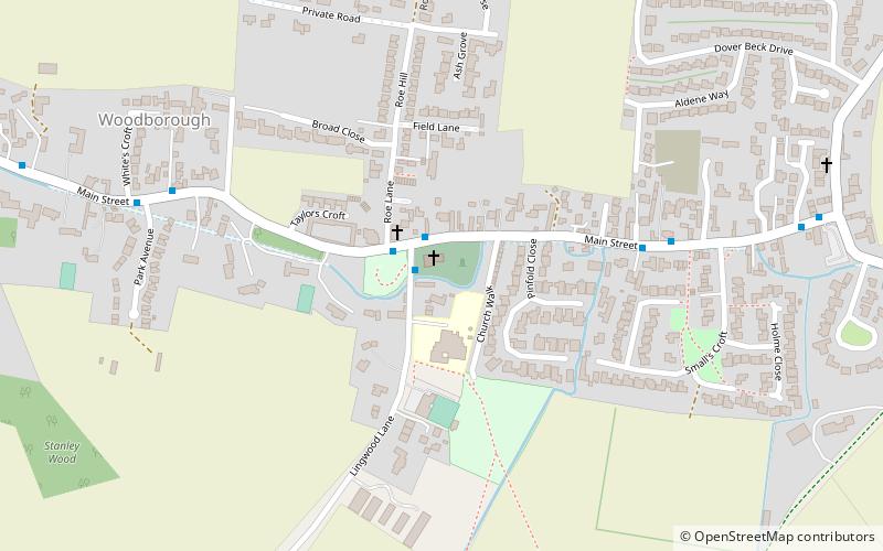
Map

Gallery

Facts and practical information
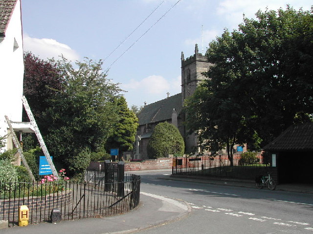
St Swithun's Church is a parish church in the Church of England in Woodborough, Nottinghamshire. ()
Coordinates: 53°1'22"N, 1°3'35"W
Address
Nottingham
ContactAdd
Social media
Add
Day trips
St Swithun's Church – popular in the area (distance from the attraction)
Nearby attractions include: Holy Cross Church, St Wilfrid's Church, White Ladies Priory, Floralands Farm Park.
Frequently Asked Questions (FAQ)
How to get to St Swithun's Church by public transport?
The nearest stations to St Swithun's Church:
Bus
Bus
- Bonner Lane • Lines: Calverton Connection (28 min walk)
- Green Lane • Lines: 47 (30 min walk)


