Regents Theological College, Malvern
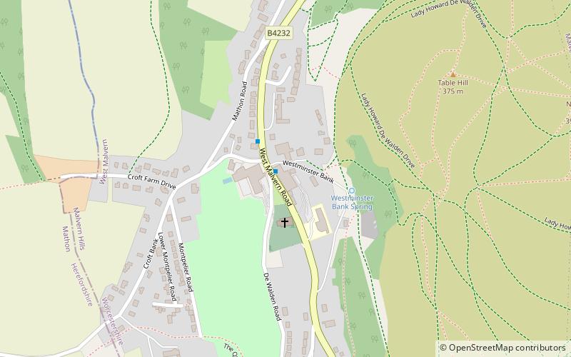
Map
Facts and practical information
Regents Theological College is a theological college in Malvern, Worcestershire, England. It is the training centre of the Elim Pentecostal Church. ()
Coordinates: 52°6'49"N, 2°20'49"W
Getting there by public transportation
Public transportation stops near this location
- Bus
- Train
 Bus
Bus
- Calculate routeFoley Arms 19 min walk
- Calculate routeClassic Interiors 19 min walk
- Calculate routeBank Street 22 min walk
- Calculate routeGraham Road 22 min walk
- Calculate routeMalvern Link 37 min walk
Day trips


Frequently Asked Questions (FAQ)
Which popular attractions are close to Regents Theological College?
Nearby attractions include Table Hill, Malvern (7 min walk), Sugarloaf Hill, Malvern (9 min walk), North Hill, Malvern (10 min walk), End Hill, Malvern (12 min walk).
How to get to Regents Theological College by public transport?
The nearest stations to Regents Theological College:
Bus
Train
Bus
- Foley Arms • Lines: 44, X44 (19 min walk)
- Classic Interiors • Lines: 44, X44 (19 min walk)
Train
- Malvern Link (37 min walk)