Worcestershire Beacon, Malvern
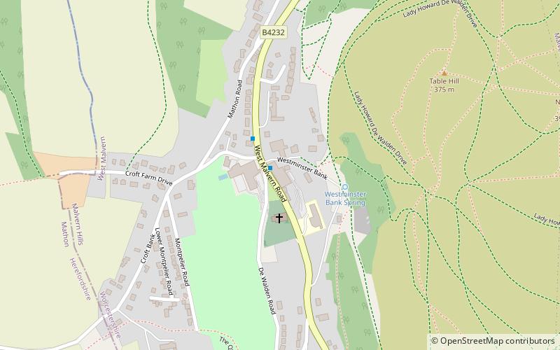
Map

Gallery

Facts and practical information
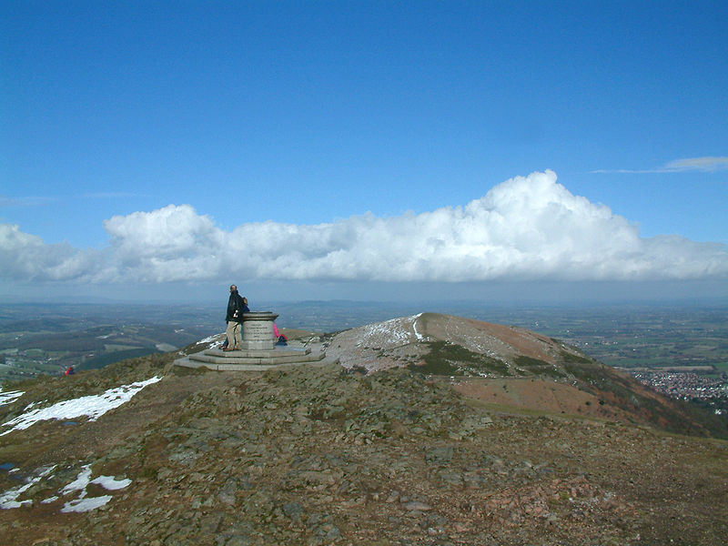
Worcestershire Beacon, also popularly known as Worcester Beacon, or locally simply as The Beacon, is a hill whose summit at 425 metres is the highest point in Worcestershire. It is part of the Malvern Hills which run about 13 kilometres north-south along the Herefordshire-Worcestershire border. ()
Address
Malvern
Contact
+44 1684 892002
Social media
Add
Day trips
Worcestershire Beacon – popular in the area (distance from the attraction)
Nearby attractions include: Great Malvern Priory, Malvern Museum, Sugarloaf Hill, End Hill.
Frequently Asked Questions (FAQ)
Which popular attractions are close to Worcestershire Beacon?
Nearby attractions include Sugarloaf Hill, Malvern (10 min walk), Malvern Museum, Malvern (15 min walk), Great Malvern Priory, Malvern (16 min walk), Great Malvern, Malvern (16 min walk).
How to get to Worcestershire Beacon by public transport?
The nearest stations to Worcestershire Beacon:
Bus
Train
Bus
- Foley Arms • Lines: 44, X44 (17 min walk)
- Church Street • Lines: 44, S44, X44 (19 min walk)
Train
- Great Malvern (24 min walk)


