Rossendale Valley, Rossendale
Map

Map

Facts and practical information
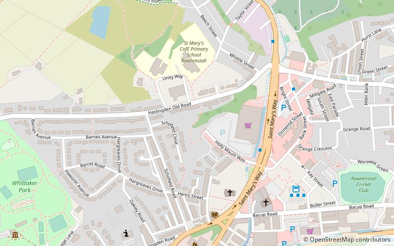
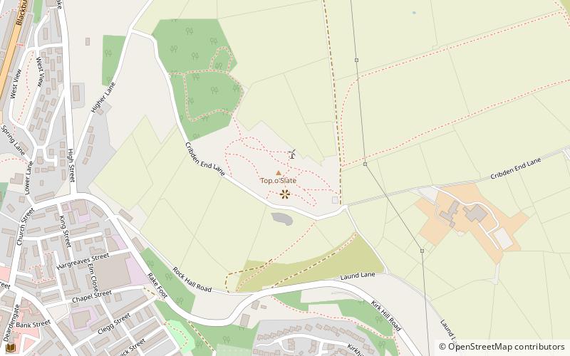
The Rossendale Valley is in the Rossendale area of Lancashire, England, between the West Pennine Moors and the main range of the Pennines. The area includes the steep-sided valleys of the River Irwell and its tributaries, which flow southwards into Greater Manchester. The rivers cut through the moorland of the Rossendale Hills, generally characterized by open unwooded land, despite the ancient designation of "forest". ()
Coordinates: 53°42'11"N, 2°17'21"W
Address
Rossendale
ContactAdd
Social media
Add
Day trips
Rossendale Valley – popular in the area (distance from the attraction)
Nearby attractions include: Longholme Methodist Church, St Paul's Church, The Halo, Rawtenstall.
Frequently Asked Questions (FAQ)
Which popular attractions are close to Rossendale Valley?
Nearby attractions include Rawtenstall, Rossendale (5 min walk), Rawtenstall Library, Rossendale (5 min walk), Longholme Methodist Church, Rossendale (5 min walk), Mather Gallery Original Art & Framing, Rossendale (7 min walk).
How to get to Rossendale Valley by public transport?
The nearest stations to Rossendale Valley:
Bus
Train
Bus
- Kingfisher • Lines: X43 (6 min walk)
- Rawtenstall Bus Station • Lines: X43, X43 Fast (6 min walk)
Train
- Rawtenstall (9 min walk)


