Astley, Tyldesley

Gallery (7)
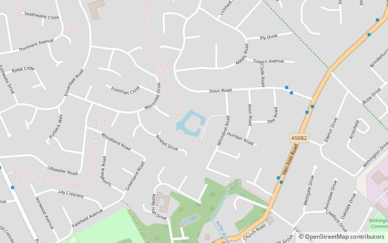
Map

Map

Gallery
Facts and practical information
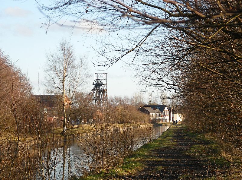
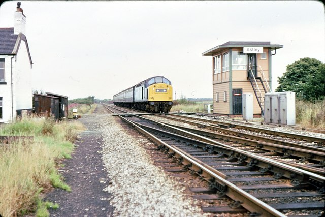
Astley is a village in the Metropolitan Borough of Wigan, Greater Manchester, England. Within the boundaries of the historic county of Lancashire, it is crossed by the Bridgewater Canal and the A580 East Lancashire Road. Continuous with Tyldesley, it is equidistant from Wigan and Manchester, both 8.3 miles away. Astley Mosley Common ward had a population of 11,270 at the 2011 Census. ()
Address
Tyldesley
ContactAdd
Social media
Add
Getting there by public transportation
Public transportation stops near this location
- Bus
- Train
 Bus
Bus
- Calculate routeTrencherbone Platform 10 min walk
- Calculate routeWhitehead Lane 12 min walk
- Calculate routeMosley Common Road/Mill Street 25 min walk
Day trips


Frequently Asked Questions (FAQ)
Which popular attractions are close to Astley?
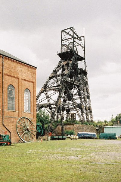
Nearby attractions include Astley Green Colliery, Tyldesley (10 min walk), St Stephen's Church, Tyldesley (12 min walk), New Hall moated site, Tyldesley (14 min walk), St John's Church, Manchester (20 min walk).
How to get to Astley by public transport?
The nearest stations to Astley:
Train
Bus
Train
- Trencherbone Platform (10 min walk)
- Whitehead Lane (12 min walk)
Bus
- Mosley Common Road/Mill Street • Lines: 29 (25 min walk)