Atherton, Tyldesley
Map
Gallery

Facts and practical information
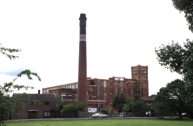
Atherton is a town in the Metropolitan Borough of Wigan, in Greater Manchester, England and historically a part of Lancashire. The town, including Hindsford, Howe Bridge and Hag Fold, is 5 miles east of Wigan, 2 miles north of Leigh, and 10+3⁄4 miles northwest of Manchester. From the 17th century, for about 300 years, Atherton was known as Chowbent, which was frequently shortened to Bent, the town's old nickname. ()
Address
Tyldesley
ContactAdd
Social media
Add
Day trips
Atherton – popular in the area (distance from the attraction)
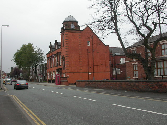
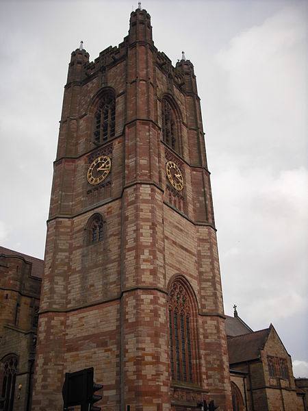
Nearby attractions include: St George's Church, Tyldesley Library, St John the Baptist's Church, Chowbent Chapel.
Frequently Asked Questions (FAQ)
Which popular attractions are close to Atherton?
Nearby attractions include St John the Baptist's Church, Tyldesley (2 min walk), Chowbent Chapel, Tyldesley (6 min walk), Atherton Library, Tyldesley (7 min walk), St Anne's Church, Tyldesley (13 min walk).
How to get to Atherton by public transport?
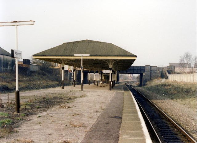
The nearest stations to Atherton:
Train
Train
- Atherton (18 min walk)
- Hag Fold (19 min walk)


