Howe Bridge, Tyldesley
Map

Map

Facts and practical information
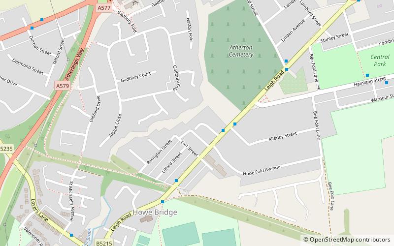
Howe Bridge is a suburb of Atherton, Greater Manchester, England. Historically within Lancashire, it is situated to the south west of Atherton town centre on the B5215, the old turnpike road from Bolton to Leigh. The settlement was built as a model pit village by the owners of Atherton Collieries. ()
Coordinates: 53°31'12"N, 2°30'17"W
Address
Tyldesley
ContactAdd
Social media
Add
Day trips
Howe Bridge – popular in the area (distance from the attraction)
Nearby attractions include: St John the Baptist's Church, Chowbent Chapel, St Michael and All Angels' Church, Atherton Library.
Frequently Asked Questions (FAQ)
Which popular attractions are close to Howe Bridge?
Nearby attractions include St Michael and All Angels' Church, Wigan (8 min walk), Atherton, Tyldesley (16 min walk), St John the Baptist's Church, Tyldesley (17 min walk), Atherton Library, Tyldesley (21 min walk).
How to get to Howe Bridge by public transport?
The nearest stations to Howe Bridge:
Train
Train
- Hag Fold (27 min walk)
- Atherton (33 min walk)


