Mynydd Maendy

Gallery (1)
Map
Map
Facts and practical information
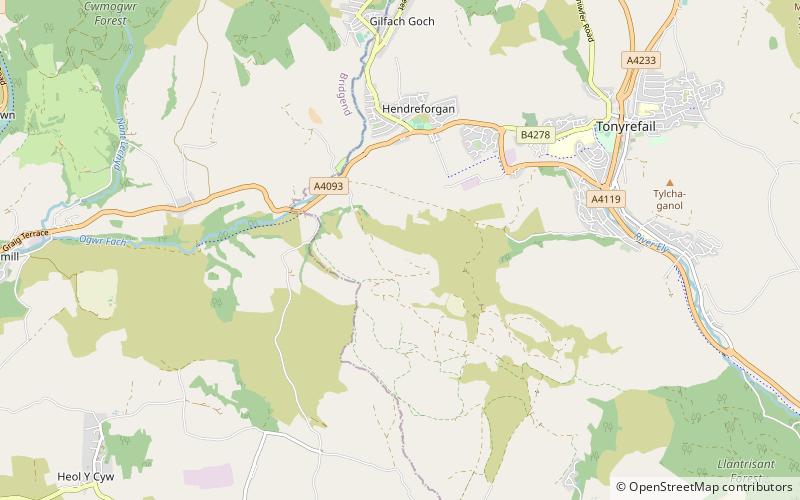
Mynydd Maendy is a hilltop and moorland, near Gilfach Goch, in the County Borough of Rhondda Cynon Taf in south Wales, to the southwest of Tonyrefail. As with the Maindee district of Newport, the name derives from the Welsh maen dy meaning "stone house". ()
Coordinates: 51°34'12"N, 3°28'12"W
Location
Wales
ContactAdd
Social media
Add
Day trips