Muslim Burial Ground, Woking
Map

Map

Facts and practical information
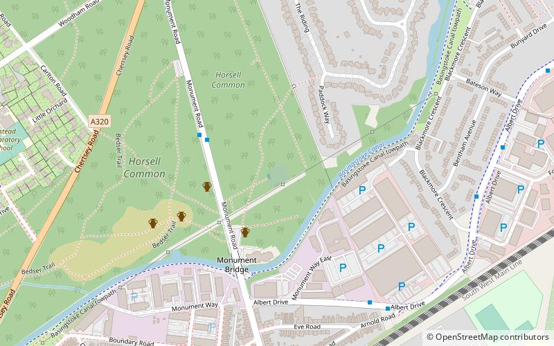
The Muslim Burial Ground, in the town of Woking in the English county of Surrey, was the original resting place of two dozen Muslim soldiers who died during World War I and World War II. It is now a peace garden dedicated to all the Muslim soldiers of the British Indian Army who died during both wars. The site measures about 120 feet by 100 feet and is located in the southeast corner of Horsell Common about 100 metres off Monument Road. It is a Grade II listed building. ()
Established: 1917 (109 years ago)Coordinates: 51°19'45"N, 0°32'31"W
Address
Monument RoadWoking
ContactAdd
Social media
Add
Day trips
Muslim Burial Ground – popular in the area (distance from the attraction)
Nearby attractions include: The Lightbox, Horsell Common, Christ Church, Church of St Mary the Virgin.
Frequently Asked Questions (FAQ)
Which popular attractions are close to Muslim Burial Ground?
Nearby attractions include Shah Jahan Mosque, Woking (15 min walk), St Dunstan's Church, Woking (18 min walk), Horsell Common, Woking (21 min walk), The Lightbox, Woking (24 min walk).
How to get to Muslim Burial Ground by public transport?
The nearest stations to Muslim Burial Ground:
Bus
Train
Bus
- Woking Business Park • Lines: 436, 456, 462, 463 (6 min walk)
- Boundary Road • Lines: 436, 456, 462, 463 (7 min walk)
Train
- Woking (26 min walk)


