Borough of Woking, Woking

Gallery (1)
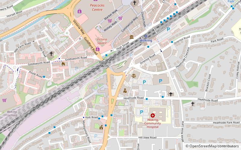
Map
Map
Facts and practical information
The Borough of Woking is a local government district with borough status in the west of Surrey, England. It is one of eleven districts within the ceremonial county of Surrey. Local government functions are split between Surrey County Council and Woking Borough Council. ()
Getting there by public transportation
Public transportation stops near this location
- Bus
- Train
 Bus
Bus
- Calculate routeHigh Street Link Road 2 min walk
- Calculate routeWoking Railway Station Southside 4 min walk
- Calculate routeYork Road 4 min walk
- Calculate routeWoking Community Hospital 4 min walk
- Calculate routeWoking 4 min walk
Day trips


Frequently Asked Questions (FAQ)
Which popular attractions are close to Borough of Woking?
Nearby attractions include Christ Church, Woking (6 min walk), New Victoria Theatre, Woking (7 min walk), The Lightbox, Woking (9 min walk), Woking Park, Woking (12 min walk).
How to get to Borough of Woking by public transport?
The nearest stations to Borough of Woking:
Bus
Train
Bus
- High Street Link Road • Lines: 28, 33, 34, 35, 39A, 39B, 39C, 40, 436, 437, 446, 456, 462, 463, 48, 520, 592, 593, 73, 81, 91 (2 min walk)
- Woking Railway Station Southside • Lines: 91, Ra2 (4 min walk)
Train
- Woking (4 min walk)