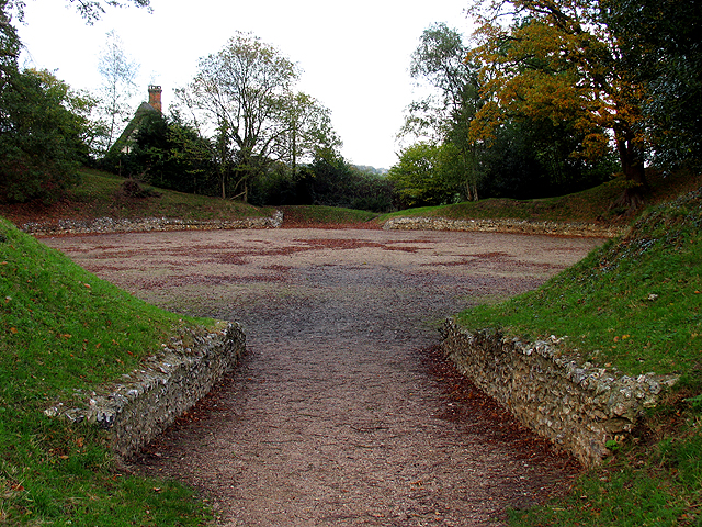
Calleva Atrebatum, Basingstoke

Gallery (3)
Map
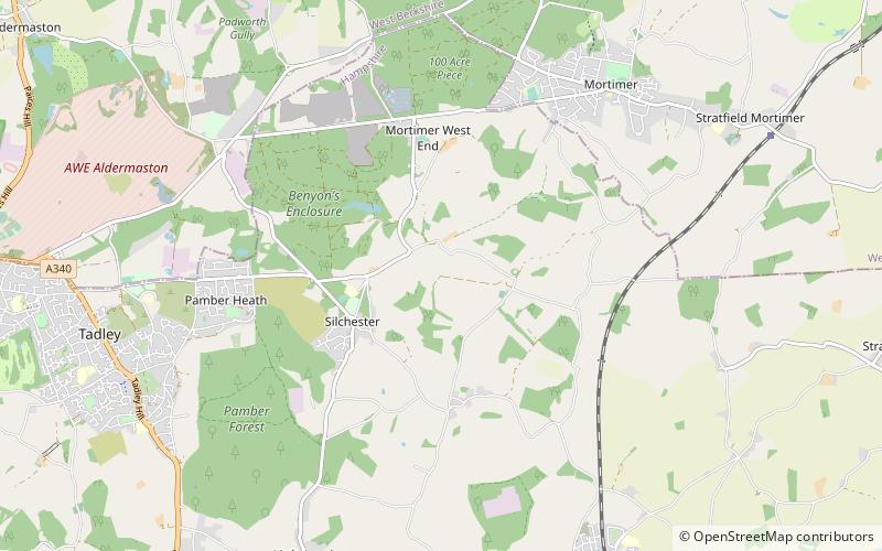
Map
Gallery
Facts and practical information
Calleva Atrebatum was an Iron Age settlement, as capital of the Atrebates tribe. It then became a walled town in the Roman province of Britannia at a major crossroads in the Roman roads of Britain. ()
Getting there by public transportation
Public transportation stops near this location
- Bus
 Bus
Bus
- Calculate routeCalleva Arms 17 min walk
- Calculate routeHydes Platt 23 min walk
- Calculate routeSilchester Common 23 min walk
- Calculate routeByes Lane 33 min walk
Day trips


Frequently Asked Questions (FAQ)
How to get to Calleva Atrebatum by public transport?
The nearest stations to Calleva Atrebatum:
Bus
Bus
- Calleva Arms • Lines: 14 (17 min walk)
- Hydes Platt • Lines: 14 (23 min walk)