The Frith
Map

Map

Facts and practical information
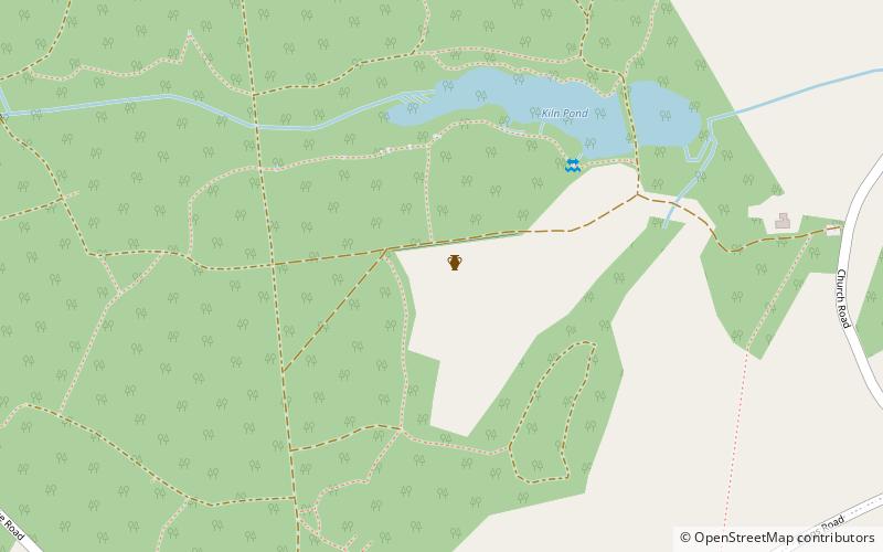
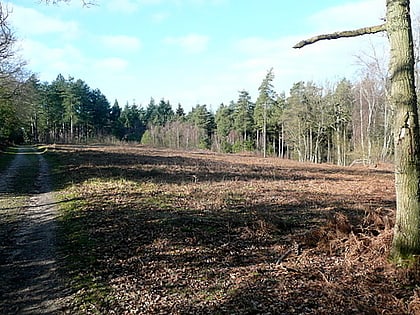
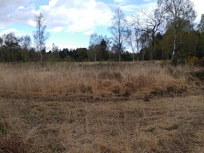
The Frith is a small univallate Iron Age hillfort to the north of Silchester, Calleva Atrebatum, Roman town in the English county of Hampshire. A single bank covers all sides apart from the south east, and is at the most about 5 feet high on the western edge. A ditch is also traceable for the length of the bank, although at varying states. ()
Coordinates: 51°21'47"N, 1°6'4"W
Location
England
ContactAdd
Social media
Add
Day trips
The Frith – popular in the area (distance from the attraction)
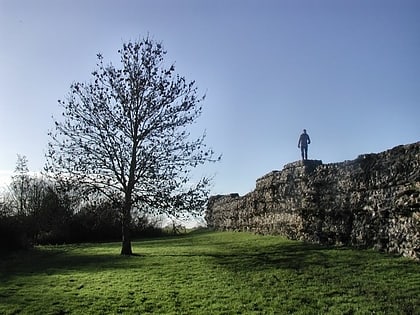
Nearby attractions include: Calleva Atrebatum, Padworth Common Local Nature Reserve, Decoy Pit, Mortimer West End.


