Wixenford, Wokingham
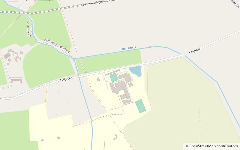
Map
Facts and practical information
Wixenford is an area of the civil parish of Wokingham Without in which Ludgrove School stands. It adjoins Wokingham and is in the English county of Berkshire. ()
Coordinates: 51°24'0"N, 0°49'34"W
Address
Wokingham
ContactAdd
Social media
Add
Getting there by public transportation
Public transportation stops near this location
- Train
 Train
Train
- Calculate routeWokingham 28 min walk
Day trips


Frequently Asked Questions (FAQ)
Which popular attractions are close to Wixenford?
Nearby attractions include Wescott Infant School, Wokingham (19 min walk), Wokingham Town Hall, Wokingham (20 min walk), St Crispin's School, Wokingham (21 min walk).
How to get to Wixenford by public transport?
The nearest stations to Wixenford:
Train
Train
- Wokingham (28 min walk)