Sand Martins Golf Club

Gallery (2)
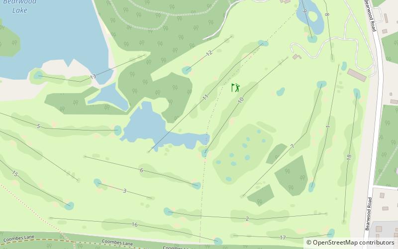
Map
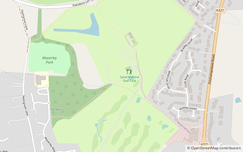

Map
Gallery
Facts and practical information
Sand Martins Golf Club (address: Finchampstead Road) is a place located in the United Kingdom and belongs to the category of golf.
It is situated at an altitude of 194 feet, and its geographical coordinates are 51°23'28"N latitude and 0°51'12"W longitude.
Among other places and attractions worth visiting in the area are: Finchampstead (locality, 28 min walk), California Country Park (park, 32 min walk), Wokingham Town HallWokingham (city hall, 40 min walk).
Coordinates: 51°23'28"N, 0°51'12"W
Day trips