Cathedral Close, Lichfield
Map

Map

Facts and practical information
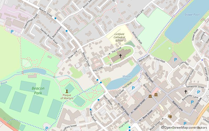
The Cathedral Close is a historic set of buildings surrounding Lichfield Cathedral in Lichfield in the United Kingdom. The Close comprises buildings associated with the cathedral and the clergy which encircle the Cathedral. The Close grew up around the cathedral during medieval times and today some medieval buildings remain in the Close but the majority of buildings date from the 17th, 18th and 19th centuries. ()
Coordinates: 52°41'6"N, 1°49'54"W
Address
Lichfield
ContactAdd
Social media
Add
Day trips
Cathedral Close – popular in the area (distance from the attraction)
Nearby attractions include: Samuel Johnson Birthplace Museum, Lichfield Cathedral, Erasmus Darwin House, Beacon Park.
Frequently Asked Questions (FAQ)
Which popular attractions are close to Cathedral Close?
Nearby attractions include Lichfield Cathedral, Lichfield (2 min walk), Erasmus Darwin House, Lichfield (2 min walk), Minster Pool, Lichfield (3 min walk), Bishop's Palace, Lichfield (3 min walk).
How to get to Cathedral Close by public transport?
The nearest stations to Cathedral Close:
Bus
Train
Bus
- The Close • Lines: 821, 822 (2 min walk)
- Swan Mews • Lines: 821, 822 (4 min walk)
Train
- Lichfield City (11 min walk)


