Scotland Road, Liverpool
Map

Gallery

Facts and practical information
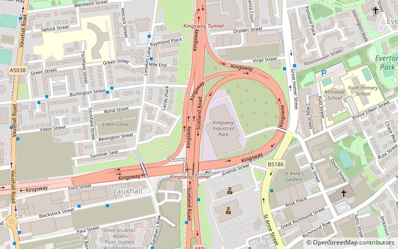
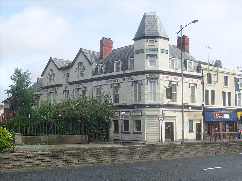
Scotland Road, known locally as Scottie Road, is the section of the A59 road situated near the docks in the Vauxhall district of north Liverpool, England. ()
Coordinates: 53°25'4"N, 2°58'55"W
Address
EvertonLiverpool
ContactAdd
Social media
Add
Day trips
Scotland Road – popular in the area (distance from the attraction)
Nearby attractions include: World Museum, St George's Hall, Walker Art Gallery, St John's Gardens.
Frequently Asked Questions (FAQ)
Which popular attractions are close to Scotland Road?
Nearby attractions include Vauxhall, Liverpool (5 min walk), Church of Our Lady of Reconciliation, Liverpool (7 min walk), St Anthony's Church, Liverpool (9 min walk), St Sylvester's Church, Liverpool (9 min walk).
How to get to Scotland Road by public transport?
The nearest stations to Scotland Road:
Bus
Train
Bus
- Crosshall St/stop Cx • Lines: 18 (17 min walk)
- Lime St Rail Station • Lines: 18 (17 min walk)
Train
- Moorfields (18 min walk)
- Liverpool Lime Street (19 min walk)


