Pont Aberarth
Map

Map

Facts and practical information
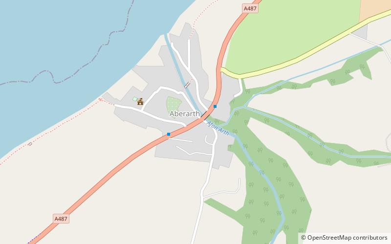
Pont Aberarth, also known as the Llanddewi-Aberarth Bridge, is a single-arched grade II listed bridge, which spans the River Arth in the village of Aberarth, Ceredigion, Wales. It was completed in 1849, and carries the A487 trunk road between Cardigan and Aberystwyth. ()
Completed: 1849 (177 years ago)Coordinates: 52°15'4"N, 4°13'44"W
Location
Wales
ContactAdd
Social media
Add
Day trips
Pont Aberarth – popular in the area (distance from the attraction)
Nearby attractions include: Llanerchaeron, Dylan Thomas Trail, New Quay, Theatr Felinfach.


