Gaer Penrhôs

Map
Facts and practical information
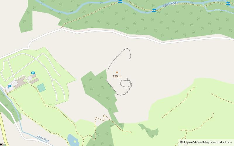
Gaer Penrhôs, in Ceredigion, Wales, was a ringwork castle at the summit of a steep hill near the village of Llanrhystud; now all that remains are the outlines of its ringworks. Through the years it has variously been referred to as Llanrhystud Castle and Castell Cadwaladr and has likely been the site of more than one structure. ()
Coordinates: 52°18'18"N, 4°7'30"W
Location
Wales
ContactAdd
Social media
Add
Day trips
Gaer Penrhôs – popular in the area (distance from the attraction)
Nearby attractions include: Dylan Thomas Trail, Ystwyth Trail, Dyfi Biosphere, Pont Aberarth.


