Barlaston, Stoke-on-Trent
Map

Map

Facts and practical information
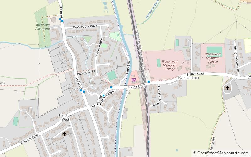
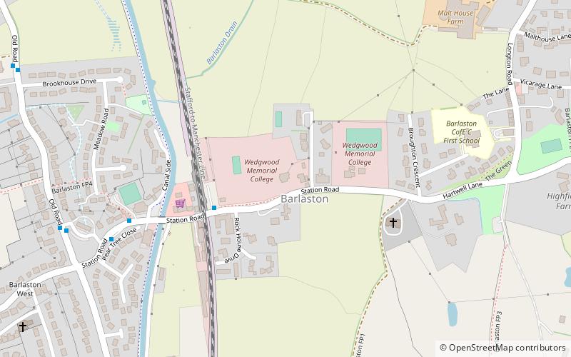
Barlaston is a village and civil parish in the borough of Stafford in the county of Staffordshire, England. It is roughly halfway between the city of Stoke-on-Trent and the small town of Stone. According to the 2001 census the population of the parish was 2,659, rising at the 2011 Census to 2,858. ()
Address
Stoke-on-Trent
ContactAdd
Social media
Add
Day trips
Barlaston – popular in the area (distance from the attraction)
Nearby attractions include: Downs Banks, World of Wedgwood, Montagu C. Butler Library, Barlaston Hall.
Frequently Asked Questions (FAQ)
Which popular attractions are close to Barlaston?
Nearby attractions include Montagu C. Butler Library, Stoke-on-Trent (5 min walk), Barlaston Hall, Stoke-on-Trent (17 min walk), World of Wedgwood, Stoke-on-Trent (23 min walk).
How to get to Barlaston by public transport?
The nearest stations to Barlaston:
Bus
Bus
- Orchard Place • Lines: 14 (4 min walk)
- Health Centre • Lines: 14 (7 min walk)


