Barlaston Hall, Stoke-on-Trent
Map

Map

Facts and practical information
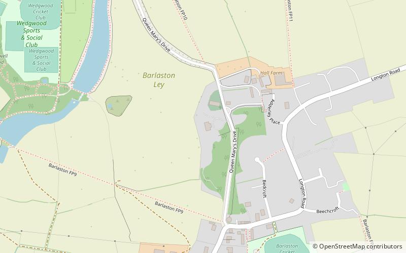
Barlaston Hall is an English Palladian country house in the village of Barlaston in Staffordshire, on a ridge overlooking the valley of the River Trent to the west, about 5 miles south of Stoke-on-Trent, with the towns of Stone about 4 miles to the south, and Stafford about 11 miles south. ()
Coordinates: 52°56'57"N, 2°9'31"W
Address
Stoke-on-Trent
ContactAdd
Social media
Add
Day trips
Barlaston Hall – popular in the area (distance from the attraction)
Nearby attractions include: Bet365 Stadium, Trentham Estate, Gladstone Pottery Museum, Stoke Town Hall.
Frequently Asked Questions (FAQ)
Which popular attractions are close to Barlaston Hall?
Nearby attractions include Montagu C. Butler Library, Stoke-on-Trent (14 min walk), Barlaston, Stoke-on-Trent (17 min walk), World of Wedgwood, Stoke-on-Trent (17 min walk).
How to get to Barlaston Hall by public transport?
The nearest stations to Barlaston Hall:
Bus
Bus
- Health Centre • Lines: 14 (18 min walk)
- Wedgwood Drive • Lines: 14 (18 min walk)


